


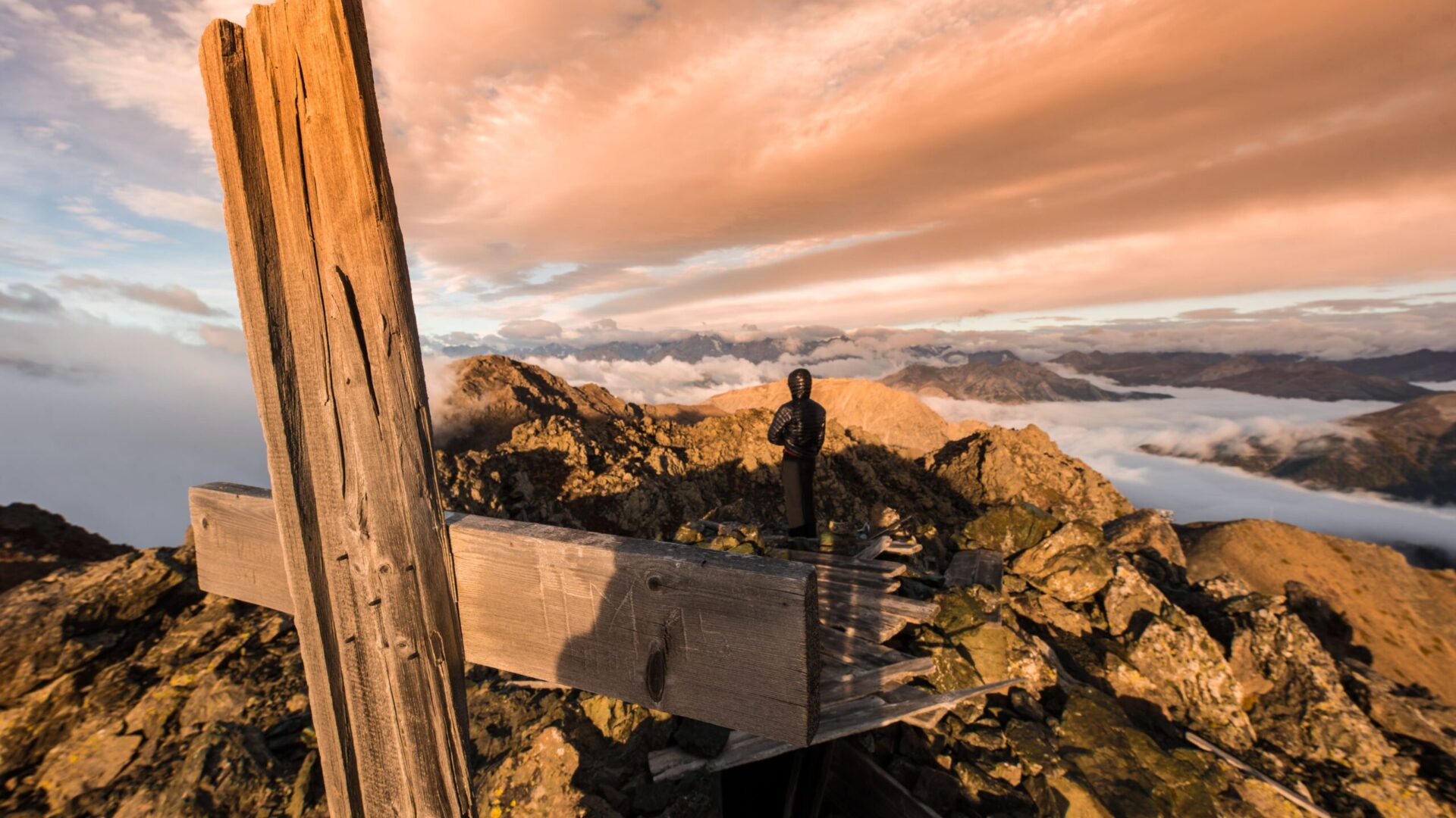
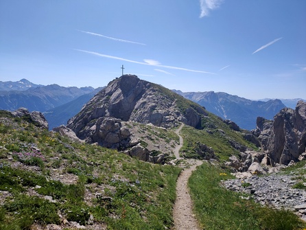
The summits of the Izoard
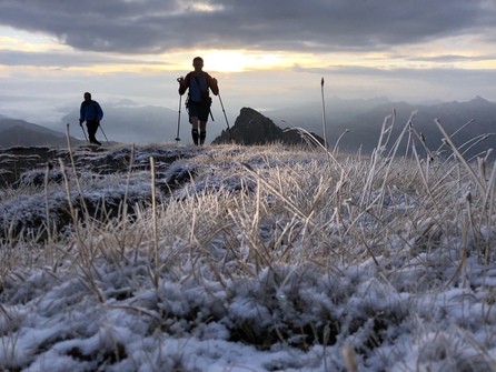
The majestic peaks of the Izoard dominate the Briançonnais, Italy and the Queyras. They rise to an altitude of almost 3,000 m and can be seen from afar. If you're adventurous and a good walker, climb the Izoard peaks! Between Briançonnais, Italy and Queyras, the itineraries will give you a feeling of freedom. Caution and experience are required to explore these peaks.
Conquering the summits of the Izoard
Do you know these peaks? La Croix d'Aquila, le Grand Glaiza, le Chenaillet, le pic de Rochebrune, le Grand Peygu and le sommet du Prorel?
So don't wait any longer to take to the trails that lead to the peaks! Caution and experience are essential when exploring these peaks. And don't forget, go with someone!
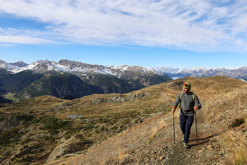
le grand peygu

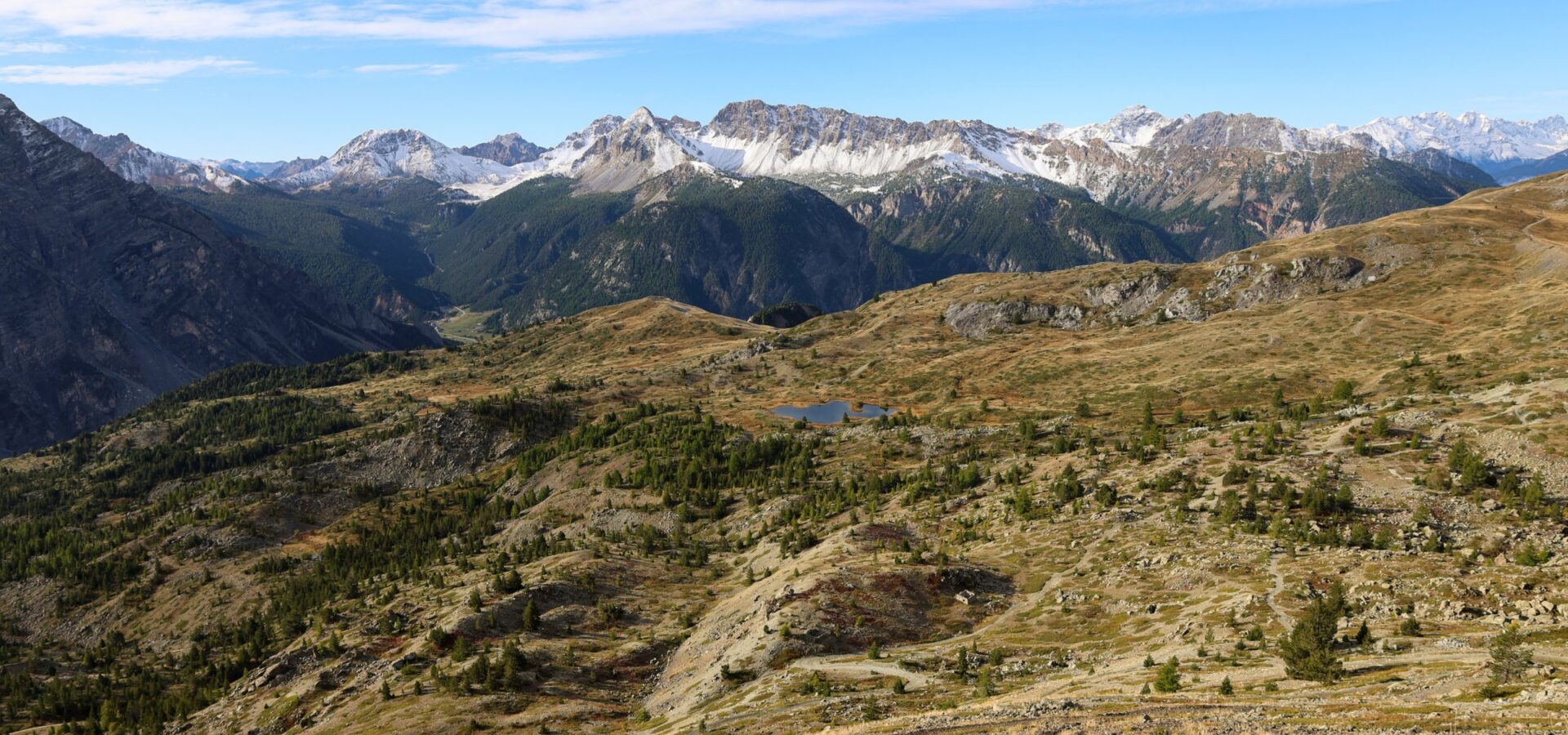
The summit reaches an altitude of 2,796 m. It offers breathtaking panoramic views of the Ecrins, Vanoise, Cerces and Queyras massifs, as well as Mont Blanc. The ascent is short and sporty, making it a challenging hike. The ridge route requires careful navigation between the rocks. It's sometimes necessary to use your hands. More experienced climbers can tackle the ascent of Grand Peygu. Departure is from the hamlet of Le Laus.
the mount prorel

It borders the Ecrins National Park, but is not part of it. The summit offers beautiful views of the Guisane and Durance valleys, as well as Briançon's Vauban fortifications. The ascent is punctuated by oratories leading to the Chapelle Notre-Dame-des-Neiges. Stop to visit this 18th-century chapel. Continue on up to the summit of Mont Prorel to admire the view.
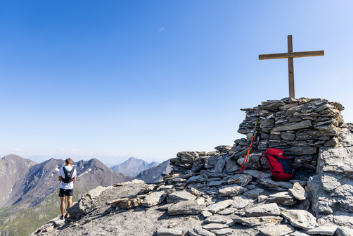
the chenaillet
Every year, many students climb this peak. To the great surprise of novices, the Chenaillet summit is the result of submarine volcanism. It bears witness to the history of the formation of the Alps. Today, Mont Chenaillet reaches an altitude of 2,650m. Thematic markers help you discover its history as you climb. The hike is not too strenuous and offers 360° panoramic views of the surrounding mountains and Italy.
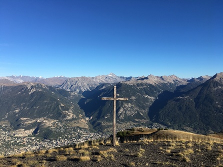
the cross d'aquila

At an altitude of 2,400m, this summit offers a panoramic view of the Pic de Montbrison. Departing from the commune of Puy-Saint-André, the route passes through the Partias Nature Reserve, where good behavior is essential to protect the area. This hike presents no particular difficulties, apart from a steep, aerial passage on the approach to the cross.
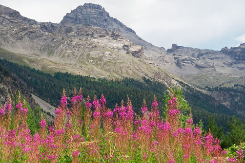
Pic de Rochebrune

Depuis 2023, des éboulements sont survenus près des sentiers de Rochebrune.
Après l’écroulement des principales parties instables et en l’absence d’indice visible de nouveau
mouvement en dehors des purges résiduelles ponctuelles,
le niveau d’exposition des itinéraires est revenu
à un niveau semblable à ce qu’il était auparavant.
Nous vous invitons à rester prudent et à prendre connaissances des différentes informations transmises.
Toutes les informations sur Rochebrune et les conditions d’accès
-
Cervières
Rochebrune peak
- Distance 10km
- Durée journalière 07h00
- Dénivelé positif 1145m
- Dénivelé négatif 1145m
-
Puy-Saint-André
La Cime de la Condamine
- Distance 12km
- Durée journalière 07h00
- Dénivelé positif 1100m
- Dénivelé négatif 1100m
-
Cervières
Chenaillet geological trail
- Distance 9.8km
- Daily duration 5:00 a.m.
- Dénivelé positif 770m
- Dénivelé négatif 770m
-
Puy-Saint-Pierre
The Prorel summit
- Distance 12km
- Durée journalière 06h30
- Dénivelé positif 1009m
- Dénivelé négatif 1014m
-
Puy-Saint-André
The Aquila Cross
- Distance 5.8km
- Daily duration 5:00 a.m.
- Dénivelé positif 600m
-
Cervières
Le Grand Glaiza – Punta Merciantaira
- Distance 15.9km
- Durée journalière 07h00
- Dénivelé positif 1230m
- Dénivelé négatif 1230m
- 1