


 Retour
randonnee
Retour
randonnee
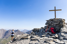
Le Grand Glaiza - Punta Merciantaira
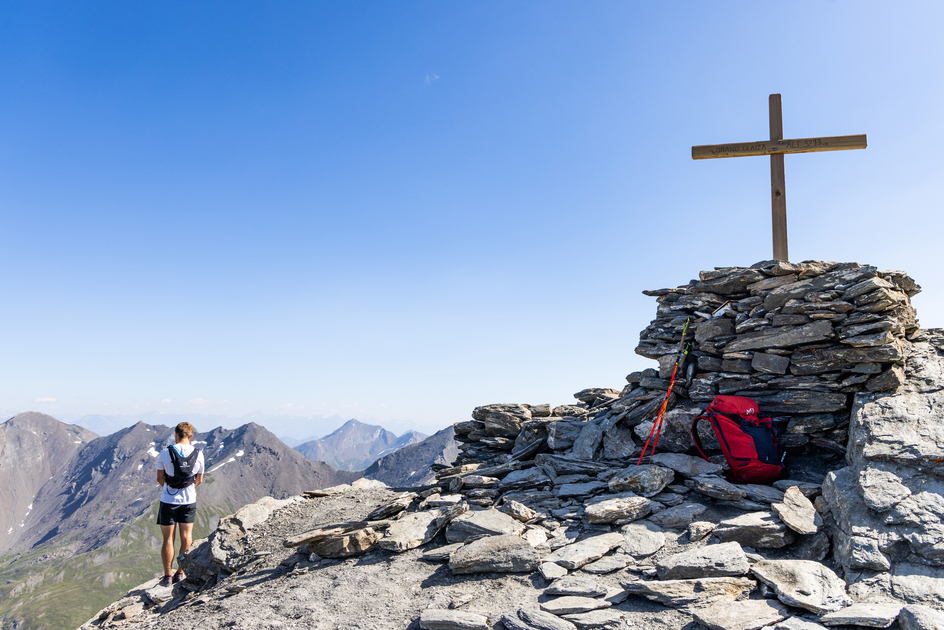
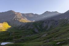
A technically easy ascent through the Pierre Rouge valley to the Col du Malrif, finishing on a ridge that leads to the summit of Grand Glaiza: a mineral summit with a magical view of the Écrins, the Aiguilles d'Arves and Mont Viso.
Description
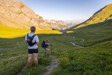
Park in the hamlet of Les Fonts de Cervières, then take the track through the hamlet.
At the intersection, turn left onto the GR58 towards the Col du Malrif. The path crosses the vast Pierre Rouge valley alongside the torrent of the same name, then crosses a scree to reach the pass.
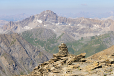
Once at the col, follow the wide ridge on the left (cairns) which leads to the summit.
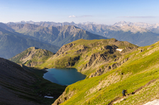
A remarkable panorama opens up over the Écrins and the Aiguilles d'Arves, as well as the Pic de Rochebrune and the Queyras Regional Nature Park.
The return journey takes the same route.
Complément accueil
This itinerary lies at the heart of the Rochebrune - Izoard - Vallée de la Cerveyrette N2000 protected site.
In order to preserve this exceptional site, it is necessary to respect certain rules:
- Stay on the paths
- Dogs must be kept on a leash
- No picking of plants or flowers
- Bring your own garbage
- Camping and fires prohibited, bivouacs authorized
- Respect the tranquillity of the site
Environnements
-
 Mountain view
-
Mountain location
-
Close to GR footpath
-
Panoramic view
Tarifs
Free access.
Itinéraire
-
 Distance
15.9km
Distance
15.9km
-
 Type d'itinéraire
Aller/retour
Type d'itinéraire
Aller/retour
-
 Dénivelé positif
1230m
Dénivelé positif
1230m
-
 Dénivelé négatif
1230m
Dénivelé négatif
1230m
-
 Durée journalière
07h00
Durée journalière
07h00
-
 Itinéraire balisé
Oui
Itinéraire balisé
Oui
-
 Précision balisage
GR markings to the pass, cairns to the summit.
Précision balisage
GR markings to the pass, cairns to the summit.
-
 Altitude moyenne
2600m
Altitude moyenne
2600m
-
 Altitude maximum
3293m
Altitude maximum
3293m
Période d'ouverture
From 01/06 to 31/10 daily.
Subject to favorable snow and weather conditions.
Ouverture complémentaire
-
Subject to favorable weather
-
Subject to snow conditions
Langues parlées
-
 French
Localisation


-
Distance
15.9km
-
Durée journalière
07h00
-
Dénivelé positif
1230m
-
Dénivelé négatif
1230m


