


 Back
equipment
Back
equipment
From La Vachette to Laval
Val-des-Prés
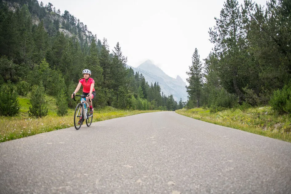
Discover the entire Clarée valley from La Vachette to Laval!
Facilities
-
 Picnic area
-
Cycle tourism route
-
Free car park
Environments
-
 Mountain view
Prices
Free access.
Itinerary
-
 Distance
49.5km
Distance
49.5km
-
 Type d'itinéraire
Aller/retour
Type d'itinéraire
Aller/retour
-
 Dénivelé positif
691m
Dénivelé positif
691m
-
 Downhill elevation
691m
Downhill elevation
691m
-
 Daily duration
02:00
Daily duration
02:00
-
 Marked trail
Yes
Marked trail
Yes
-
 Nature of the terrain
Hard coating (tar, cement, flooring)
Nature of the terrain
Hard coating (tar, cement, flooring)
-
 Altitude moyenne
1692m
Altitude moyenne
1692m
-
 Altitude maximum
2019m
Altitude maximum
2019m
Opening hours
Subject to snow conditions.
Ouverture complémentaire
-
Subject to snow conditions
Languages spoken
-
 English
Location


Pont des Amoureux
La Vachette
05100 Val-des-Prés
Phone:
492-20-02-20
-
Distance
49.5km
-
Daily duration
02:00
-
Dénivelé positif
691m
-
Downhill elevation
691m
Préparez votre randonnée
How do I get there?