


 Back
equipment
Back
equipment
Ascent of Col de l'Echelle from Bardonecchia
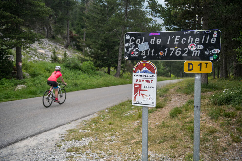
With its 600-meter vertical drop over ten kilometers, the ascent of the Col de l'Echelle from the Italian side of the mountain is a real challenge. The beauty of the scenery from this route to the Italian peaks is well worth the climb.
Description
Far from the mythical, busy passes, the Col de l'Echelle has retained an almost timeless spirit. This ascent from the Italian town of Bardonecchia will require a certain amount of stamina.
From the vast Campo Smith parking lot with its ski lifts, the first section to leave the town in the direction of the Vallée Étroite is fairly easy (2% on average). The slope then steepens to reach Les Mélèzets (6.5%), levels out very briefly and then begins a climb to the start of the Col. The most difficult part comes next, with a gradient of between 6% and 8.5% until you reach the vast Col plateau.
Length from Bardonecchia: 10 km
Vertical drop: 600 m
Average gradient: 5%.
Maximum gradient: 8.5%.
Facilities
-
 Cycle tourism route
Complément accueil
Follow the Cols Réservés calendar: cycling enthusiasts can realize their dreams in complete safety: the climbs of mythical cols and resorts are closed to motorized traffic and reserved for cyclists in the morning. Free access, open to all, with no registration, no ranking, no start and no finish.
Environments
-
 Mountain rental
Itinerary
-
 Distance
10km
Distance
10km
-
 Type d'itinéraire
Aller simple
Type d'itinéraire
Aller simple
-
 Dénivelé positif
600m
Dénivelé positif
600m
-
 Marked trail
Yes
Marked trail
Yes
-
 Nature of the terrain
Hard coating (tar, cement, flooring)
Nature of the terrain
Hard coating (tar, cement, flooring)
-
 Altitude maximum
1762m
Altitude maximum
1762m
Opening hours
Please note that the Col de l'Echelle is closed in winter.
For opening conditions, please visit http://inforoute.hautes-alpes.fr/.
Languages spoken
-
 English
-
 English
-
 Italian
Location


-
Distance
10km
-
Dénivelé positif
600m
-
Type d'itinéraire
Aller simple
-
Marked trail
Yes