Back
vacation package
Back
vacation package
The secret trails of La Clarée - Le Chalet d'en Hô
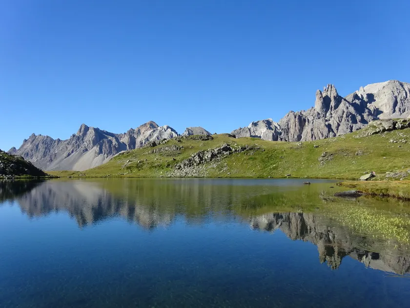
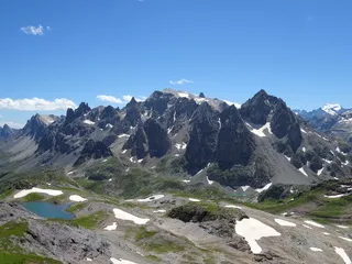
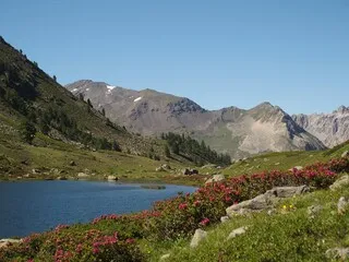
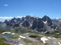
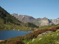
A discovery of the Vallée de la Clarée off the trails....
Description
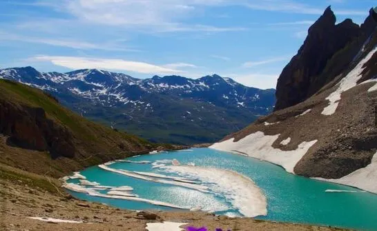
This trip is designed for those who want to discover the Clarée in a different light, with more unique itineraries that avoid the most crowded GR trails. Our team of guides will take you into the valley’s wild glens, in search of a somewhat hidden lake or a lesser-known peak, so you can enjoy and immerse yourself in this exceptional region. And throughout it all, they’ll be delighted to share their knowledge of local history and geography with you. A 5-day hike (with 800 to 1,000 meters of elevation gain per day) along unique routes: a great vacation itinerary for curious hikers and mountain lovers!
Every evening when you return to the hotel, you can unwind in the soothing bubbles of the hot tub, in the sauna for a detoxifying sweat, or under the magical touch of our massage therapists, who will help you ease your sore muscles!
ITINERARY:
Monday: Colette de Biaune (2,597 m), Lac Noir du Vallon:
We’ll start with a short transfer (10 minutes) to Ville-Haute and the Lacou glacial lock. From the Sainte Barbe Chapel, via a well-maintained winding trail, we’ll reach the southern foothills where the chalets of Biaune are nestled. Then we’ll enter a large valley basin and climb off-trail to the Colette at 2,597 meters, a small pass that allows us to cross over to its northern slope into the Vallon. This area is a favorite of chamois—we’ll keep an eye out for them! The descent takes us to the small Lac Noir and then along the banks of the Vallon torrent, which leads us back to the village.
Elevation gain and loss: 800 to 1,000 m. 5 to 6 hours of hiking.
Tuesday: Loop from the Oule Valley to the Cristol Valley. Pic du Longet (2,573 m) optional.
From the hotel, we’ll set out on foot along the Clarée River to find the trailhead that climbs into the Oule Valley through a beautiful larch forest on the north-facing slope. 600 meters higher up, the larch forest opens onto the alpine pasture of the Oule Valley. We continue along the stream bed, first reaching two lovely lakes and then, off-trail, the ridge leading to Pic du Longet (which we can hike to and back from) and allowing us to descend into the Cristol Valley. The stunning Lake Cristol will offer us a brief, contemplative break in the afternoon before we head back down into the valley.
Elevation gain and loss: 900 m (plus 100 m for the summit). 6-hour hike
Wednesday: Biron Lake, Pointe de Rochachille (2,799 m)
From the end of the Upper Valley Road (a half-hour transfer to the Laval parking lot), we’ll head for the ridge that closes off the valley and separates us from the Maurienne. Alpine pastures—rarely used by hikers but heavily grazed by sheep during the grazing season—allow us to discover, off the beaten path, the small Lac Biron: it’s a real reward, offering a unique view of the valley! Then we’ll continue along the ridge that extends toward Pointe de Rochachille, where the view opens up onto Savoie. We’ll explore this border area—still off the beaten path—to enjoy the panoramic views before returning to the banks of the Clarée.
Elevation gain and loss: 800 m. 5 to 6 hours of hiking
Thursday: Fort de l’Olive, Fort de Lenlon (2,508 m), Vallon du Creuzet
On foot from the hotel and following the Clarée River (in the opposite direction this time), we’ll descend into the Bois des Arras to begin the steep ascent of the Sapé and the Rocher de l’Olive: The army built a fort there in the late 19th century to guard the border with Italy. The site is worth a visit (and the view is nice, too)! We’ll climb further up the ridge to find another fort, a smaller version of the first one: this will be our highest point. We’ll then head down off-trail through the Creuzet valley, keeping an eye out for the wildlife that lives there. This loop can also be done in the opposite direction.
Elevation gain and loss: 900 m. 5 to 6 hours of hiking
Friday: Raisin Valley and Pass, Pic Ombière (2,832 m)
From Fontcouverte, we’ll head to the Vallon du Raisin, above the Chardonnet mountain hut, to reach the ridge separating the Clarée and Guisane valleys. From the Col du Raisin (2,691 m) to the summit of Pic Ombière, we’ll enjoy magnificent views in both directions, with the high peaks of the Ecrins taking center stage.
Elevation gain and loss: 850 m (plus 150 m to the summit). 5 to 6 hours of hiking
Saturday: End of the trip after breakfast
Complément accueil
Difficulty level: 4* out of 5*
- 6 to 8 hours of walking per day
- Mountain routes with differences in altitude from 900 to 1400 meters uphill and/ or downhill, sometimes off-trail. Very good physical condition required.
- Backpack: you carry your day’s belongings and a picnic.
-
Groupe minimum : 1
-
Nombre de jours : 6 jours
Environments
-
 Mountain rental
Prices
Adult: from 1,224 €.
Le prix comprend
6 nights with full board from Sunday through Saturday
5 days of challenging hikes (3,000-meter peaks) led by a state-certified guide. (Monday, Tuesday, Wednesday, Thursday, Friday)
Transfers
Access to the Relaxation Area every afternoon from 3:00 PM to 7:00 PM
The price does not include
Personal consumption and possible massages.
Payment Methods
-
 Bank/credit card
-
 Check
Check
-
 Traveler's Check
-
 Cash
Cash
-
 Credit transfer
-
 Connect Travellers Cheque
Opening hours
From 06/06 to 11/09/2027 daily between 8 am and 10 pm.
Subject to favorable weather.
Ouverture complémentaire
-
Subject to favorable weather
Languages spoken
-
 English
-
 English
-
 Italian
Location