Back
randonnee
Back
randonnee
Tour du Guion
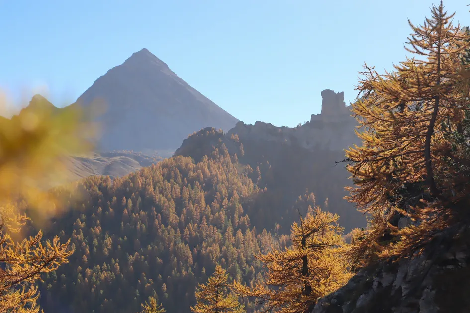
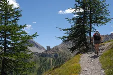
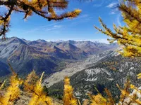
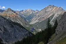

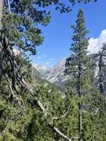
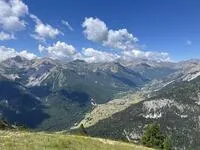
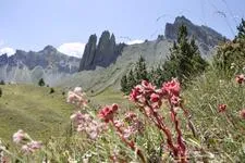
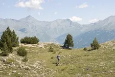
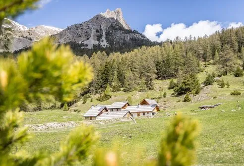
This long hike, most of which starts in the forest, takes you through the wild Acles valley, where you can see many animals, before crossing the Italian border over the pass of the same name.
Description
Park at Plampinet, then take the small forest road above the village and follow it to the Col des Acles (a path leads off to the right at the entrance to the Acles valley).
Caution: this trailhead is in direct sunlight, so it's best to start the hike early.
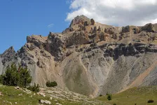
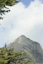
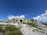
Once at the col, descend on the Italian side, skirting the summit of the Guion on the left. The path leads down to the end of the col de l'Échelle, then return to the start of the col (on the French side).
You can also leave a car at the end of the Col de l'Echelle to avoid the return trip.
Environments
-
 Forest location
-
Mountain rental
-
Presence of livestock and guard dogs
Prices
Free access.
Itinerary
-
 Distance
20km
Distance
20km
-
 Type d'itinéraire
BOUCLE
Type d'itinéraire
BOUCLE
-
 Dénivelé positif
1175m
Dénivelé positif
1175m
-
 Downhill elevation
1175m
Downhill elevation
1175m
-
 Daily duration
07:00
Daily duration
07:00
-
 Marked trail
Yes
Marked trail
Yes
-
 Altitude moyenne
1800m
Altitude moyenne
1800m
-
 Altitude maximum
2274m
Altitude maximum
2274m
Opening hours
All year round daily.
Subject to favorable snow and weather conditions.
Ouverture complémentaire
-
Subject to favorable weather
-
Subject to snow conditions
Location
Animals
Pets allowed: Yes


-
Distance
20km
-
Daily duration
07:00
-
Dénivelé positif
1175m
-
Downhill elevation
1175m