Back
randonnee
Back
randonnee
The Fontcouverte waterfall loop on snowshoes
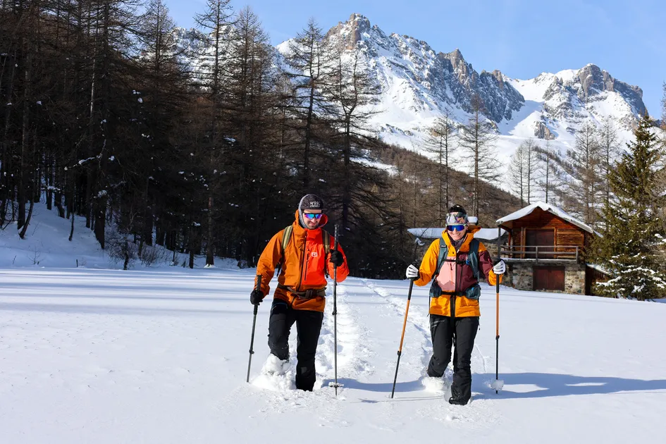
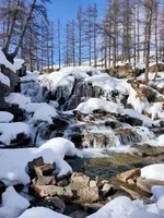
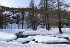
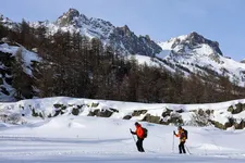
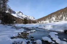
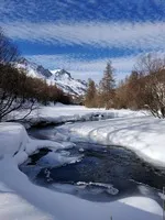
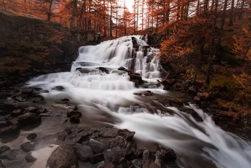
The Fontcouverte waterfall is a magical sight in winter. A not-to-be-missed itinerary in the upper valley, this pretty loop takes you along the Clarée between snow-covered plains, summer cottages and larch forests.
Description
Starting from Névache Ville Haute, strap on your snowshoes and set off along the snow-covered Haute Vallée trail. This first part of the walk takes place on this shared trail, which is occasionally groomed to the delight of hikers, ski tourers and cross-country skiers.
After passing the chapel of Notre Dame de Bon Secours and the chapel of Sainte Barbe, a sign on the left indicates the Buffère refuge. Cross the snow-covered plain to cross the Rately bridge, then continue along the right bank of the river. The "Fontcouverte" signs will point you in the right direction.
Along the river, between forests and snow-covered plains, you pass the chalets de Basse Gardioles and then the chalets de la Meuille... the imposing Massif du Queyrellin rises up before you.
Shortly before the hamlet of Fontcouverte, you'll come to its beautiful waterfall, which is partly frozen. Continue on to the hamlet, where you can take a short break in the warmth of the rustic Fruitière restaurant.
You can then return down the snow-covered road, which passes through the old chalets of Lacha and Sausse.
In summer, this route leaves Névache on the right bank via the Outre bridge, on the left just after the church; it is avalanche-prone and totally inadvisable in winter.
Complément accueil
Remain vigilant:
- Be aware of changing weather and snow conditions.
- The G.R. and other routes used in summer are not always the same as winter trails - The right bank route between Ville Haute and the Rately bridge is not recommended.
- Because of the risk of avalanche, we strongly recommend that you wear full safety equipment (avalanche transceiver, probe and shovel).
- Our mountain guides are there to accompany you on this winter terrain, which they know well.
Environments
-
 Mountain rental
Prices
Free access.
Itinerary
-
 Distance
12km
Distance
12km
-
 Type d'itinéraire
BOUCLE
Type d'itinéraire
BOUCLE
-
 Dénivelé positif
250m
Dénivelé positif
250m
-
 Downhill elevation
250m
Downhill elevation
250m
-
 Daily duration
04:00
Daily duration
04:00
-
 Marked trail
Yes
Marked trail
Yes
-
 Nature of the terrain
Groomed trail,
Non-groomed itinerary
Nature of the terrain
Groomed trail,
Non-groomed itinerary
-
 Altitude moyenne
1700m
Altitude moyenne
1700m
-
 Altitude maximum
1850m
Altitude maximum
1850m
Opening hours
From 01/12 to 30/04 daily.
Subject to favorable snow and weather conditions.
Ouverture complémentaire
-
Subject to favorable weather
-
Subject to snow conditions
Location
Animals
Pets allowed: Yes


-
Distance
12km
-
Daily duration
04:00
-
Dénivelé positif
250m
-
Downhill elevation
250m