


 Back
randonnee
Back
randonnee
The Col de Buffère on snowshoes
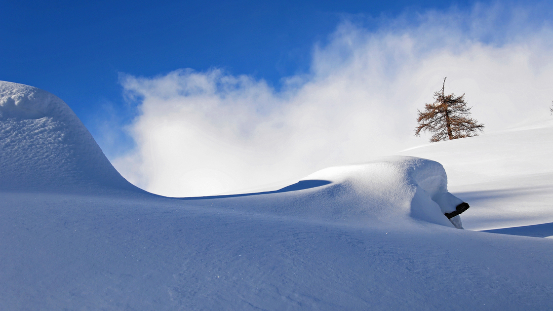

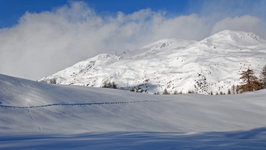
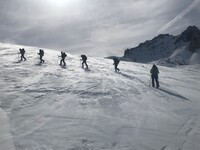
The Col de Buffère is a classic snowshoeing itinerary that is well-frequented. It can be done in a day from Névache, or as an itinerary from the Refuge de Buffère.
Description
A DVA-shovel-probe kit is recommended for this itinerary: remember to consult the Bulletin des Risques Avalanche (BRA) before setting off.
Starting from Névache Ville Haute, you'll need to take the upper valley road - this is usually packed and/or packed down by snowmobiles from the refuges.
After passing the chapels of Notre Dame de Bon Secours and Sainte Barbe, you'll see a sign for the Refuge de Buffère trail on the left-hand side of the large plateau.
Cross the Rately bridge and stay on the refuge's itinerary. The path climbs steeply through a larch forest on the left, but don't be discouraged as it leads to the refuge and the magnificent, vast Buffère valley.
Once past the refuge, the itinerary continues straight on and then pulls slightly right into the valley, following the posts to the pass where an exceptional view awaits you. The descent is by the same route.
Warning: in summer, this route leaves Névache on the right bank via the Outre bridge, on the left just after the church; it is avalanche-prone and totally inadvisable in winter.
Complément accueil
Find out when the refuge is open and make sure you book in advance.
Remain vigilant: you need to be aware of changing weather and snow conditions. The G.R. and other itineraries used in summer are not always the same as those used in winter - the right bank itinerary between Ville Haute and the Rately bridge is not recommended.
Stay alert to avalanche risks. Our mountain guides are there to guide you on this winter terrain, which they know well.
Due to the risk of avalanches, wearing complete safety equipment (avalanche transceiver, probe, and shovel) is strongly recommended.
Prices
Free access.
Itinerary
-
 Distance
15km
Distance
15km
-
 Type d'itinéraire
Aller/retour
Type d'itinéraire
Aller/retour
-
 Dénivelé positif
950m
Dénivelé positif
950m
-
 Downhill elevation
950m
Downhill elevation
950m
-
 Daily duration
06h30
Daily duration
06h30
-
 Marked trail
Yes
Marked trail
Yes
-
 Nature of the terrain
Non-groomed itinerary
Nature of the terrain
Non-groomed itinerary
-
 Altitude maximum
2427m
Altitude maximum
2427m
Ouverture complémentaire
-
Subject to favorable weather
-
Subject to snow conditions
Location


-
Distance
15km
-
Daily duration
06h30
-
Dénivelé positif
950m
-
Downhill elevation
950m


