


 Back
randonnee
Grand'Hoche Tower
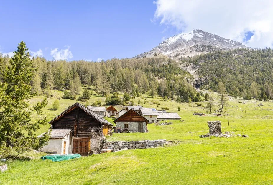
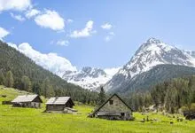
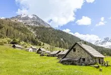
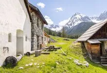
A magnificent hike around the peak of the same name. La Grand'Hoche offers remarkable views, particularly of the Alpes-Maritimes but also of the glaciers of the Écrins Massif. This multi-day hike can be completed in two days.
Description
DAY 1:
5 hours, 1,000 m elevation gain
From the hamlet of Plampinet (1,480 m) in the town of Névache, follow the forest road (marked GR5) that leads to the Vallon des Chalets des Acles; Before reaching the hamlet, at the intersection just past the San Rocco Chapel, leave the road and take the trail that climbs to the left toward the Col des Acles. Once you are almost at the pass (2,292 m), follow the wide trail a little further up which, crossing the border, leads northeast toward the Col de la Mulattiera (2,412 m).
From the pass, take Trail 705, which descends eastward, and follow the signs for the Rey Mountain Hut, first passing near the Sanità Chapel (1,920 m), then past the San Giusto Chapel (1,820 m), finally arriving at the Guido Rey Refuge (1,761 m).
DAY 2:
6 hours, 1,000 m elevation gain
From the Guido Rey Refuge (1,761 m), follow Trail 702 toward the Col de l’Ours and the Blanchetti Bivouac. Upon exiting the forest, the trail turns left toward the Rocher de La Garde (2,222 m). From there, follow the trail, which winds through several switchbacks and a few exposed crossings, leading to the magnificent Passo dell’Orso and the Blanchetti bivouac (2,480 m).
From the bivouac, climb to the summit of the Grand’Hoche (2,760 m) and, if you wish, continue along the ridge to the Guglia d’Arbour ridge (2,803 m). The descent from the summits follows the same route as the ascent. Once back at Passo dell’Orso, descend through the Ravin de Lauses to the junction leading to the Col de Desertes; from there, follow the trail that descends and crosses the entire valley, passing by the Chalets des Acles (1,870 m), and returns to Plampinet (1,480 m).
Environments
-
 Forest location
-
Mountain rental
-
Sensitive Natural Area
Prices
Prices not available. Overnight stays at mountain huts are subject to a fee.
We strongly recommend that you contact the mountain hut in advance to verify that its operating hours align with your visit.
Itinerary
-
 Distance
27.46km
-
 Type d'itinéraire
BOUCLE
-
 Dénivelé positif
2163m
-
 Downhill elevation
2164m
-
 Daily duration
11:00
-
 Durée itinérance
2 jours
-
 Marked trail
Yes
-
 Nature of the terrain
Rock,
Stone,
Ground,
Grit
-
 Altitude maximum
2747m
Opening hours
From 21/06 to 31/10 daily.
Subject to favorable snow and weather conditions.
Ouverture complémentaire
-
Subject to favorable weather
-
Subject to snow conditions
Languages spoken
-
 English
Accessible tourism
-
Not accessible in a wheelchair
Location


-
Distance
27.46km
-
Durée itinérance
2 jours
-
Daily duration
11:00
-
Dénivelé positif
2163m


