


 Back
randonnee
Back
randonnee
Entre Val-des-Prés et Plampinet
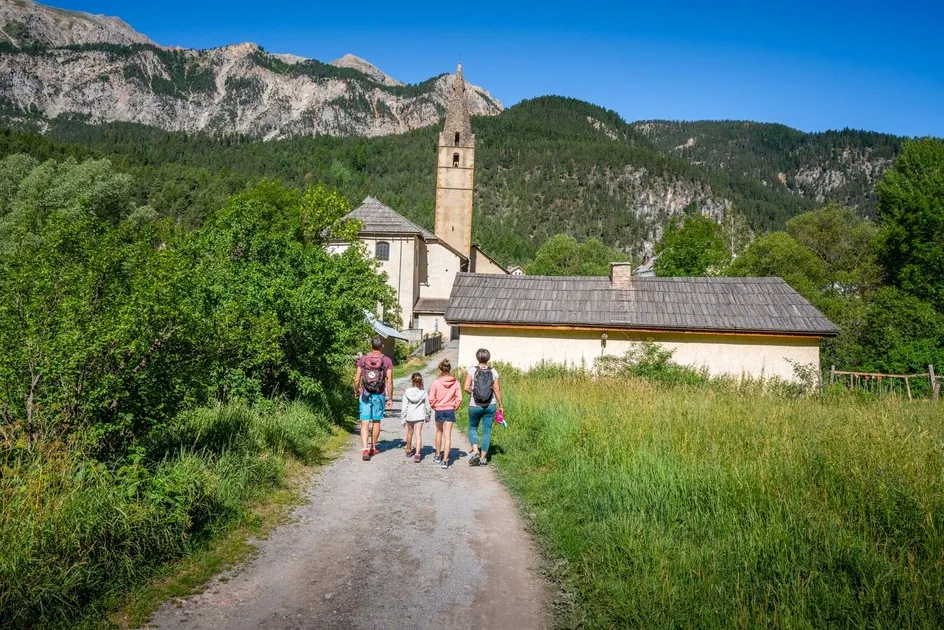
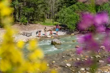
A very pleasant family walk to discover the valley between fields and forests along the river.
Description
On leaving Val des Prés, park at the Draye bridge parking lot.
Take the carriage road to the left just before the bridge, passing the last houses in Val des Prés. The road then becomes a pleasant track through fields and forests along the Clarée to the hamlet of Plampinet.
Ignore the first junction (the left-hand track rises towards a farm), and continue straight ahead on the asphalt road to a second intersection: at this junction, ignore the left-hand track rising towards the chalets and Col du Granon, and continue straight ahead ("grotte des 50 ânes" sign): the asphalt then gives way to a stony track descending through meadows on the edge of the forest: this track continues along the river to the hamlet of Plampinet.
Once past the meadows, the track enters the larch forest and crosses the Granon torrent, then continues along the Clarée to reach a wide footbridge: continue along the track through the woods to reach a small clearing.
At the end of the path, you come to the edge of the departmental road at the entrance to Plampinet. You can continue your walk through the village.
Return by the same route.
Environments
-
 Mountain view
-
Mountain rental
Itinerary
-
 Distance
12km
Distance
12km
-
 Type d'itinéraire
Aller/retour
Type d'itinéraire
Aller/retour
-
 Dénivelé positif
210m
Dénivelé positif
210m
-
 Downhill elevation
210m
Downhill elevation
210m
-
 Daily duration
03:30
Daily duration
03:30
-
 Altitude maximum
1500m
Altitude maximum
1500m
Ouverture complémentaire
-
Subject to snow conditions
Location
Animals
Pets allowed: Yes


-
Distance
12km
-
Daily duration
03:30
-
Dénivelé positif
210m
-
Downhill elevation
210m