


 Back
equipment
Back
equipment
Circuit VTT N°41 : La descente de la Clarée
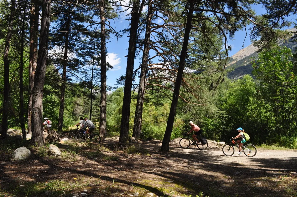


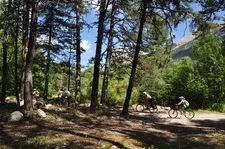
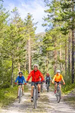
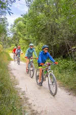
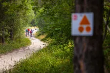
From Névache to La Vachette, via Plampinet and Val-des-Prés, discover the Clarée valley by mountain bike on this easy route.
Description
At the Fortville bridge, cross the Clarée stream. Follow a good path on either side of the Clarée. A good descent takes you to Plampinet.
Before the Plampinet bridge, turn right and follow the Clarée along its right bank.
Then left bank, with a beautiful stretch under the pines,
then right bank to La Draye. This is where you'll find the trickiest sections of the route. You'll need to put your foot down to negotiate some of them.
Cross the bridge and continue along the left bank past the village of Val des Prés.
At Le Rosier, stay on the left bank on a path to the left of the road,
then cross the campsite at Bois de Boulogne des Alberts.
A small road leads to La Vachette.
Facilities
-
 Picnic area
-
Public WC
-
Mountain biking itinerary
-
Free car park
Environments
-
 Riverside
-
Mountain rental
-
Close to public transportation
Itinerary
-
 Distance
18km
Distance
18km
-
 Dénivelé positif
50m
Dénivelé positif
50m
-
 Downhill elevation
250m
Downhill elevation
250m
-
 Nature of the terrain
Ground,
Hard coating (tar, cement, flooring)
Nature of the terrain
Ground,
Hard coating (tar, cement, flooring)
Ouverture complémentaire
-
Subject to snow conditions
Languages spoken
-
 English
-
 English
-
 Italian
Location
Animals
Pets allowed: Yes


-
Distance
18km
-
Dénivelé positif
50m
-
Downhill elevation
250m