


 Back
randonnee
Back
randonnee
L'Aiguille Rouge from Roubion
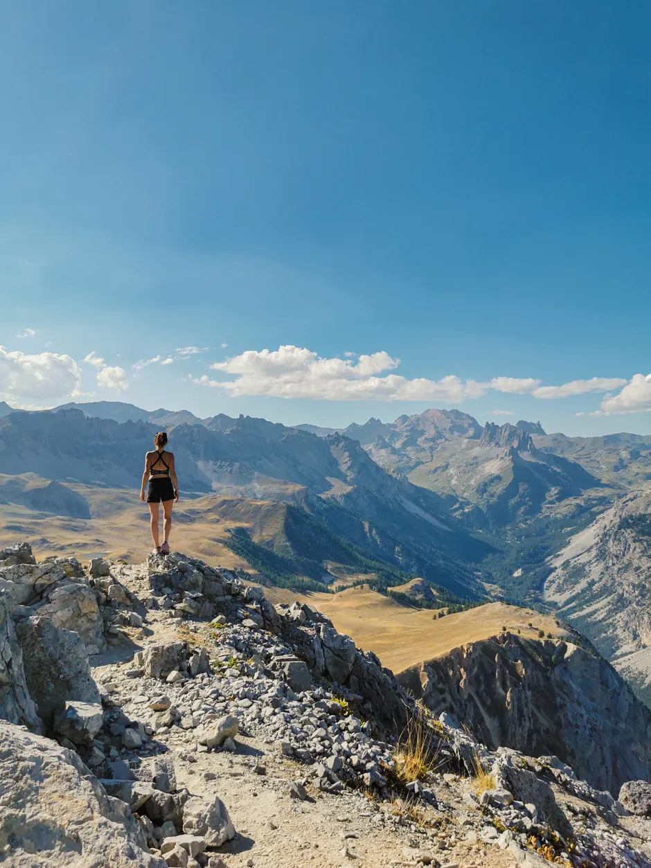
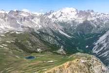
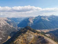
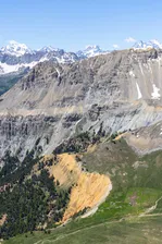
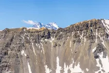
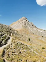
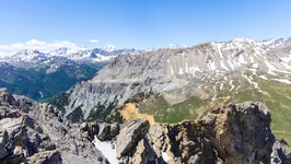
This is a beautiful hike starting from the hamlet of Roubion. The path alternates between forests and clearings before arriving at an alpine pasture that gives a glimpse of the summit.
Description
From the Roubion parking lot, take the road up towards the heart of the hamlet, then turn left towards "Champ Bellet" (ski lift in winter).
Continue on the GR5-GR57, passing the forest hut and the "demoiselles coiffées", until you reach the Thures plateau. Take the GR5B-GR57 intersection to the summit of Aiguille Rouge.
For the return journey, follow the same path downhill for about 1.5 km to the junction with the GR5B-GR57, but instead of turning right, turn left onto a pretty path that descends into the forest.
Follow Bois de Saint Hippolyte/Notre Dame de Bon Rencontre. Once at the chapel, follow the Col de l'Echelle asphalt road (watch out for traffic) for about 1 km, then leave it and continue straight on at Combe Saint Martin, a wide path leading to Pont Robichet, cross it and, once you reach the asphalt road, turn left and go back down to the Roubion parking lot.
Environments
-
 Mountain rental
-
Presence of livestock and guard dogs
Prices
Free of charge.
Itinerary
-
 Distance
15.3km
Distance
15.3km
-
 Type d'itinéraire
BOUCLE
Type d'itinéraire
BOUCLE
-
 Dénivelé positif
993m
Dénivelé positif
993m
-
 Daily duration
06:00
Daily duration
06:00
-
 Marked trail
Yes
Marked trail
Yes
-
 Nature of the terrain
Rock,
Stone,
Ground,
Not suitable for strollers
Nature of the terrain
Rock,
Stone,
Ground,
Not suitable for strollers
-
 Altitude maximum
2548m
Altitude maximum
2548m
Languages spoken
-
 English
Location
Animals
Pets allowed: Yes


-
Distance
15.3km
-
Daily duration
06:00
-
Dénivelé positif
993m
-
Type d'itinéraire
BOUCLE