


 Back
randonnee
Back
randonnee
Col du vallon

With its 1,000-meter vertical drop and 4-hour ascent, this not-to-be-missed itinerary of the GRP Tour du Mont Thabor crosses high-altitude torrents, flower-filled meadows and mineral landscapes. Long and demanding, it is no less splendid.
Description
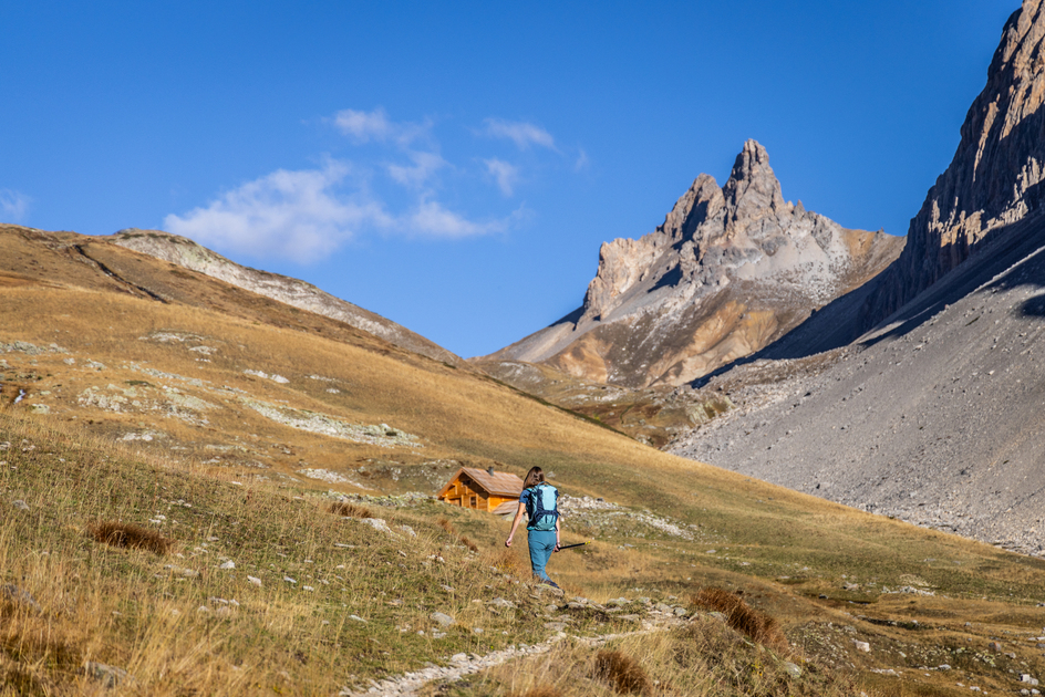
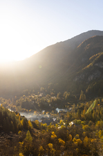
From Névache, pass the last houses in the hamlet of Ville-Haute, cross the torrent du Vallon, and take a path to the right of the road, marked by the signs "Lac Noir, Long et Blanc du Vallon, Col du Vallon". This well-marked path rises steeply.
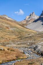
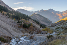
This is the only path that crosses the valley from the start to the pass, for just under 8 km. An essential route on the GRP Tour du Mont Thabor, it rises steadily along the torrent, between the mineral slopes of this narrow Vallon.
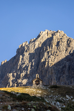
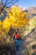
The first section rises steeply through the woods below the Crête de la Pépio, before levelling out briefly below the Creux des Souches and the Chalets du Serre. The route then gradually rises to reach the Chapelle Saint Michel, then the sheepfold a little further on.
Progress is steady and the trail crosses the many small streams of the Black, Long and White lakes, which overhang the path (these routes to the lakes are not signposted).
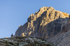
The route soon becomes very mineral, under the impressive Rochers de la Paria, before finally reaching the Col du Vallon, from where a magnificent view of the Grand Séru, Mont Thabor and the Vallée Étroite unfolds.
The return journey takes the same route.
Environments
-
 Mountain rental
-
Presence of livestock and guard dogs
Prices
Free access.
Itinerary
-
 Distance
16.2km
Distance
16.2km
-
 Type d'itinéraire
Aller/retour
Type d'itinéraire
Aller/retour
-
 Dénivelé positif
1061m
Dénivelé positif
1061m
-
 Daily duration
06h00
Daily duration
06h00
-
 Marked trail
Yes
Marked trail
Yes
-
 Précision balisage
Yellow and red GRP signs and markers.
Précision balisage
Yellow and red GRP signs and markers.
-
 Altitude maximum
2645m
Altitude maximum
2645m
Opening hours
From 11/05 to 11/11 daily.
Subject to favorable snow and weather conditions.
Ouverture complémentaire
-
Subject to favorable weather
-
Subject to snow conditions
Location
Animals
Pets allowed: Yes


-
Distance
16.2km
-
Daily duration
06h00
-
Dénivelé positif
1061m
-
Type d'itinéraire
Aller/retour