Retour
equipement
Retour
equipement
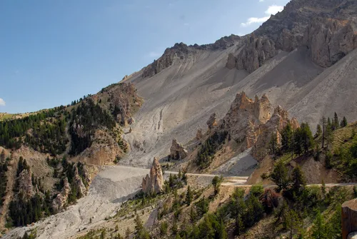
The Izoard loop
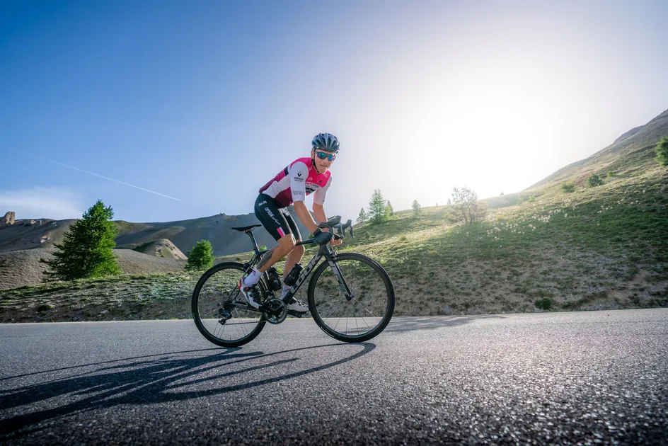
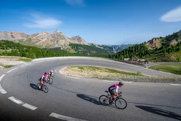

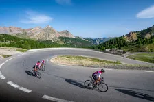
This beautiful loop takes you in the footsteps of the Tour de France. You'll ride along small mountain roads to reach the highest point: the Col de l'Izoard.
Description
From the Centre Montagne parking lot in Villard-Saint-Pancrace, head back down towards the village center, taking the road on your left and then the first road on your left that descends steeply.
At the bottom of this road, turn left and drive to Le Villaret.
At Le Villaret, continue straight ahead on the main road towards Saint-Martin de Queyrières.
You'll come to a traffic circle in Saint-Martin de Queyrières. Turn left over the bridge. At the end of the bridge, turn left and follow the road until it joins the main road to Briançon.
Once on the main road, enter the village of Queyrières and take the first wheel on your left, following signs for Les Vigneaux. Continue straight on to Les Vigneaux.
In the village of Les Vigneaux, when you reach the crossroads with the main road, turn left towards L'Argentière-la-Bessée.
Once in L'Argentière-la-Bessée, continue straight ahead through the village.
As you leave the village, leave the road that joins the main road and continue straight ahead until you reach the climb that leads to Fressinières and Champcella.
At the top of the hill, turn left towards Champcella and follow the main road until you reach Eygliers.
Once in Eygliers, follow the main road into the village and rejoin Route Nationale 94. At the stop sign, turn right and continue straight ahead.
At the traffic circle on the outskirts of Eygliers, turn left towards Guillestre.
In Guillestre, follow signs for Queyras and Arvieux. As you approach Chateau-Vieille-Ville, turn left towards the Col de l'Izoard. Once at the summit, return to Cervières and continue towards Briançon.
Once in Briançon, pass the hamlet of Fontchristiane and continue along the main road. At the traffic circle at the bottom of the descent, take a sharp left and go straight ahead. At the end of the road, you'll come to a traffic circle where you should go straight ahead. At the next traffic circle, continue on the main road, which bends slightly to the left, and at the next traffic circle, turn left.
After passing the Villard-Saint-Pancrace entrance sign, stay on the main road and turn right at the next traffic circle.
Then take the first road on your left, signposted "Les Ayes" and "Centre Montagne". After going up the street, you'll come to a small square. Turn right between the two houses. Be careful, the street is narrow and some vehicles may be coming the wrong way.
Pass the narrowing, then the bridge, and continue straight ahead. The road bends slightly to the right.
At the top of the climb, you'll see the Centre Montagne sign: turn right to reach the parking lot.
Équipements
-
 Cycle tourism route
-
Free car park
Environnements
-
 Mountain view
Tarifs
Free access.
Itinéraire
-
 Distance
96.4km
Distance
96.4km
-
 Type d'itinéraire
BOUCLE
Type d'itinéraire
BOUCLE
-
 Dénivelé positif
2251m
Dénivelé positif
2251m
-
 Dénivelé négatif
2257m
Dénivelé négatif
2257m
-
 Durée journalière
07:10
Durée journalière
07:10
-
 Itinéraire balisé
Oui
Itinéraire balisé
Oui
-
 Nature du terrain
Hard coating (tar, cement, flooring)
Nature du terrain
Hard coating (tar, cement, flooring)
-
 Altitude maximum
2348m
Altitude maximum
2348m
Période d'ouverture
From 30/05 to 31/10 daily.
Find out about road and weather conditions before you leave.
Subject to favorable snow and weather conditions.
Ouverture complémentaire
-
Subject to favorable weather
-
Subject to snow conditions
Langues parlées
-
 French
Localisation


-
Distance
96.4km
-
Durée journalière
07:10
-
Dénivelé positif
2251m
-
Dénivelé négatif
2257m