


 Retour
randonnee
Retour
randonnee
The botanical trail
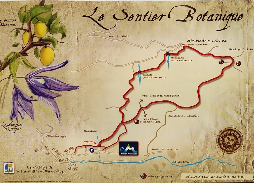
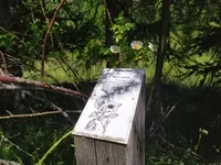
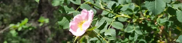
Discover the Bois du Villard Botanical Trail. Indications will help you identify the plant species present. You'll also come across the remains of the peasant mines where the Villard coal was mined.
Description
From the Centre Montagne parking lot, the path starts at the bottom of the parking lot on your left and is signposted with wooden "Sentier Botanique" signs.
A little steep at first, this access leads to a much wider, deeper path lined with trees and shrubs. After around 300 metres, the first fork in the path becomes obvious: take the left-hand path, which gradually rises through the woods (the right-hand path is the return path).
Shortly afterwards, you come to a second fork in the path, which bends to the right. This time, the path flattens out considerably, then crosses a large footbridge and rises gently. Cross a second small stream to the highest point of the route, which gradually descends to a crossroads where the remains of two old mines are visible.
At this crossroads, continue downhill on the right-hand path, which gradually descends towards the rock-climbing school and then rejoins the starting path.
Complément accueil
A map of the route is available free of charge from the Villard Saint Pancrace Mountain Centre.
Environnements
-
 Mountain location
Bons plans
We also recommend a visit to the "Musée de la mine" exhibition in Briançon (cite Vauban).
Itinéraire
-
 Distance
2.1km
Distance
2.1km
-
 Type d'itinéraire
BOUCLE
Type d'itinéraire
BOUCLE
-
 Dénivelé positif
160m
Dénivelé positif
160m
-
 Durée journalière
01:30
Durée journalière
01:30
-
 Itinéraire balisé
Oui
Itinéraire balisé
Oui
-
 Altitude maximum
1439m
Altitude maximum
1439m
Ouverture complémentaire
-
Subject to favorable weather
Langues parlées
-
 French
Localisation
Animaux
Animaux acceptés : Oui
Thèmes
-
Tips : We also recommend a visit to the "Musée de la mine" exhibition in Briançon (cite Vauban).


-
Distance
2.1km
-
Durée journalière
01:30
-
Dénivelé positif
160m
-
Type d'itinéraire
BOUCLE