


 Retour
equipement
Retour
equipement
Plan Vallon loop
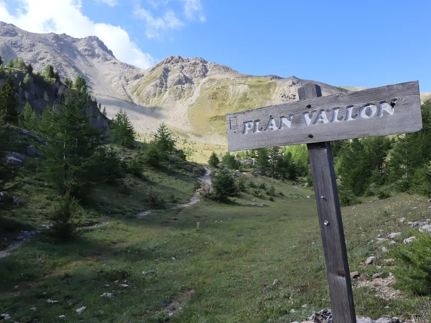
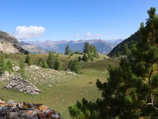
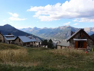
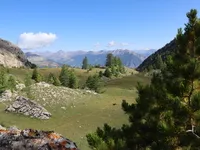
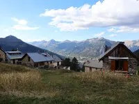
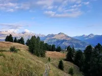
A perfect playground to challenge yourself between forest and altitude: over 12 km and 1,035 m of ascent, you'll follow shady singles, regular climbs and panoramic views, with just the right amount of intensity to enjoy yourself without ending up on your kneecaps.
Description
This 12 km loop trail, with a total vertical drop of 1,035 m, starts from the Villard-Saint-Pancrace Mountain Center. It offers a gradual immersion into the wooded heights of the commune, passing through several emblematic sites in the area: Le Clos des Prés, Plan Vallon - the highest point on the route at 2,320 m - then Le Mélézin and Le Lauzin, before beginning a smooth descent towards the route des Ayes.
The route is distinguished by its pleasant natural environment, much of it shaded, making it an ideal option during the summer months. The only exception is the last quarter of the ascent to Plan Vallon, which is exposed to direct sunlight and where the heat can make the effort even greater. The route is mainly single-track, not very technical, and mostly dirt. A few roots may appear in places, but the passages remain smooth and without major difficulty.
The overall profile is well-balanced, with regular climbs and undulating sections, and the effort is well distributed throughout. The steepest section is in the last quarter of the ascent to Plan Vallon, where the gradient is steeper and exposure to the sun is greater. The loop is therefore of moderate difficulty, accessible to a wide range of trail runners, while offering enough commitment to satisfy more experienced runners looking for elevation gain and pace.
Équipements
-
 Trail route
Tarifs
Free access.
Itinéraire
-
 Distance
11.95km
Distance
11.95km
-
 Type d'itinéraire
BOUCLE
Type d'itinéraire
BOUCLE
-
 Dénivelé positif
1035m
Dénivelé positif
1035m
-
 Dénivelé négatif
1032m
Dénivelé négatif
1032m
-
 Durée journalière
02:00
Durée journalière
02:00
-
 Nature du terrain
Ground
Nature du terrain
Ground
-
 Altitude maximum
2320m
Altitude maximum
2320m
Période d'ouverture
From 01/05 to 31/10 daily.
Langues parlées
-
 French
Localisation


-
Distance
11.95km
-
Durée journalière
02:00
-
Dénivelé positif
1035m
-
Dénivelé négatif
1032m