Retour
randonnee
Retour
randonnee
le tour de Roche Moutte
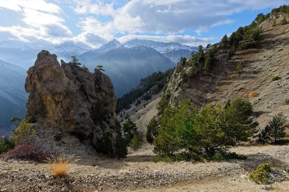
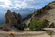
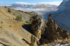
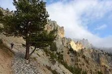
A short, easy hike in the hills above Cervières. Buildings from the 1900s, old blockhouses, summer cottages and vast valleys punctuate this stroll, offering beautiful panoramic views over the Fonds de Cervières valley, the Izoard and the Grand Peygu.
Description
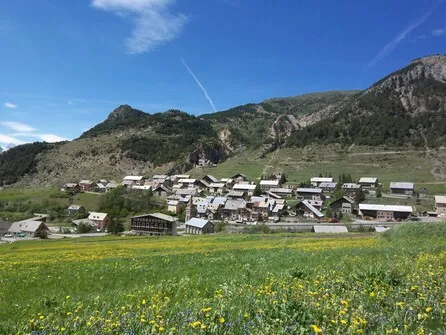
Just above Cervières, park in a small recess after the first hairpin bend, where a wooden sign indicates "Roche Moutte".
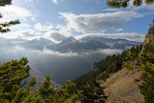
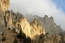
The path winds up through the forest to reach the Bois des Bans battery: three buildings dating from 1898. Continuing to the edge of the forest, the path then crosses a small scree that quickly gives way to vast alpine meadows dotted with juniper trees.
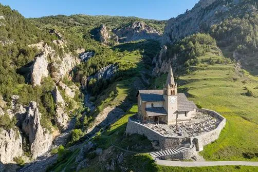
Keep your eyes peeled for chamois! The path twists and turns as it rises slightly through the valley. At the first junction, turn left: the Bergerie de Peyre Moutte is just above the track. Follow a grassy track below the sheepfold for 700 metres, then leave the track and take the small path on the left, which gently descends towards the Alp du Pied sheepfold and the Sainte-Marie Madeleine chapel below.
Cross the Alp du Pied summer cottages and continue downhill on a wider gravel path until you reach Saint-Michel church on the heights of Cervières.
Return to the starting point via the tarmac road for 300 metres.
Environnements
-
 Mountain location
Itinéraire
-
 Distance
6.3km
Distance
6.3km
-
 Type d'itinéraire
BOUCLE
Type d'itinéraire
BOUCLE
-
 Dénivelé positif
550m
Dénivelé positif
550m
-
 Dénivelé négatif
560m
Dénivelé négatif
560m
-
 Durée journalière
03:00
Durée journalière
03:00
-
 Passage délicat
Just above the technical passage equipped with a handrail, there is an unequipped passage which may seem tricky: be careful.
Passage délicat
Just above the technical passage equipped with a handrail, there is an unequipped passage which may seem tricky: be careful.
-
 Nature du terrain
Rock,
Stone,
Ground,
Not suitable for strollers
Nature du terrain
Rock,
Stone,
Ground,
Not suitable for strollers
-
 Altitude maximum
2194m
Altitude maximum
2194m
Période d'ouverture
From 15/05 to 15/11 daily.
Subject to favorable snow and weather conditions.
Ouverture complémentaire
-
Subject to favorable weather
-
Subject to snow conditions
Localisation
Animaux
Animaux acceptés : Oui


-
Distance
6.3km
-
Durée journalière
03:00
-
Dénivelé positif
550m
-
Dénivelé négatif
560m