Retour
randonnee
Retour
randonnee
Col de Péas
Cervières

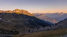
Aerial hiking route through the Fonts de Cervières
Description
Cross the hamlet of Les Fonts de Cervières and reach a bridge 100 m further on.
Cross the bridge. Take the path opposite towards Col de Péas.
Continue along this path, always straight ahead, towards the pass.
At around 2200 m altitude, ignore the path leading off to the right towards Lac des Cordes (a variant of the GR 58) and continue straight ahead.
Climb up the Chalmettes ravine to the Col de Péas.
Return by the same route.
Environnements
-
 Mountain location
Tarifs
Free access.
Itinéraire
-
 Distance
7.9km
Distance
7.9km
-
 Type d'itinéraire
Aller/retour
Type d'itinéraire
Aller/retour
-
 Dénivelé positif
600m
Dénivelé positif
600m
-
 Durée journalière
03:30
Durée journalière
03:30
-
 Itinéraire balisé
Oui
Itinéraire balisé
Oui
-
 Nature du terrain
Rock,
Stone,
Ground,
Grit,
Not suitable for strollers
Nature du terrain
Rock,
Stone,
Ground,
Grit,
Not suitable for strollers
-
 Altitude maximum
2629m
Altitude maximum
2629m
Période d'ouverture
From 01/06 to 15/11 daily.
Subject to favorable snow and weather conditions.
Ouverture complémentaire
-
Subject to favorable weather
-
Subject to snow conditions
Langues parlées
-
 French
Localisation
Animaux
Animaux acceptés : Oui


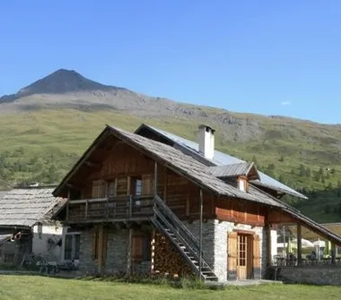
186 rue de la Mairie
05100 Cervières
Tel :
06 07 07 31 08
-
Distance
7.9km
-
Durée journalière
03:30
-
Dénivelé positif
600m
-
Type d'itinéraire
Aller/retour
Préparez votre randonnée
Comment venir ?