Retour
randonnee
Retour
randonnee
Clot la Cime
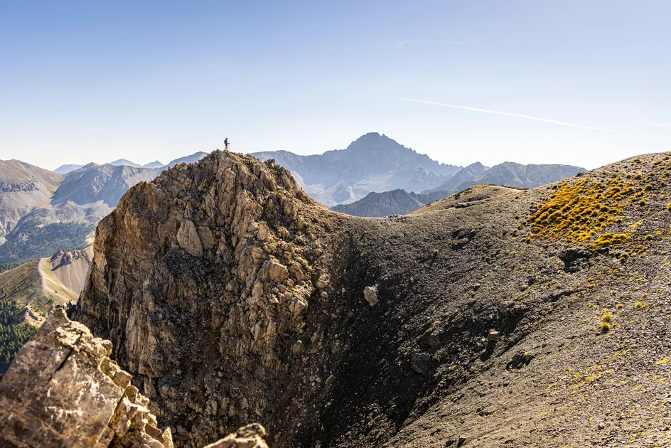
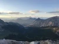

From the summit of Clot la Cime, this short high-altitude itinerary offers surprising views of the Ecrins and Queyras.
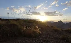
Its short duration makes it an ideal hike at the end of the day to enjoy the sunsets over the peaks.
Description
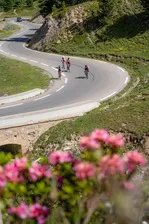
Park at the Col de l'Izoard parking lot, then cross the road to take the path behind the old museum.
At the fork in the road, take the left-hand path; the wooden signpost points the way to Clot la Cime.
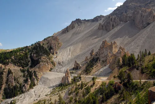
The path crosses the mountainside facing the Queyras before winding its way up to the summit. The highest point forms a summit flat.
Return by the same route.
Complément accueil
To enjoy the sunsets from this summit, it's advisable to bring headlamps for the descent and warm clothing.
This route lies in the heart of the Rochebrune - Izoard - Vallée de la Cerveyrette N2000 protected area.
In order to preserve this exceptional site, it is necessary to respect certain rules:
- Stay on the paths
- Dogs must be kept on a leash
- No picking of plants or flowers
- Bring your own garbage
- Camping and fires prohibited, bivouacs authorized
- Respect the tranquillity of the site
Environnements
-
 Mountain view
-
Mountain location
-
Panoramic view
Tarifs
Free access.
Itinéraire
-
 Distance
4.5km
Distance
4.5km
-
 Type d'itinéraire
Aller/retour
Type d'itinéraire
Aller/retour
-
 Dénivelé positif
391m
Dénivelé positif
391m
-
 Durée journalière
02:00
Durée journalière
02:00
-
 Itinéraire balisé
Oui
Itinéraire balisé
Oui
-
 Précision balisage
Rock signs and markers
Précision balisage
Rock signs and markers
-
Passage délicat
Initially, the crossing is a little airy.
-
 Nature du terrain
Non-groomed itinerary,
Stone,
Not suitable for strollers
Nature du terrain
Non-groomed itinerary,
Stone,
Not suitable for strollers
-
 Altitude maximum
2729m
Altitude maximum
2729m
Période d'ouverture
Find out when the pass is open and when it is reserved for cyclists.
Ouverture complémentaire
-
Subject to favorable weather
-
Subject to snow conditions
Localisation
Animaux
Animaux acceptés : Oui


-
Distance
4.5km
-
Durée journalière
02:00
-
Dénivelé positif
391m
-
Type d'itinéraire
Aller/retour