Ski touring routes from La Grave and Villar d'Arène
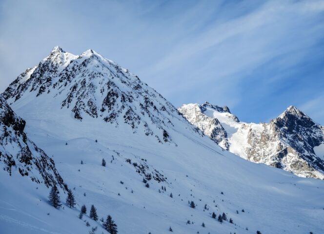
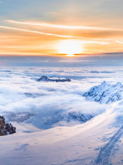
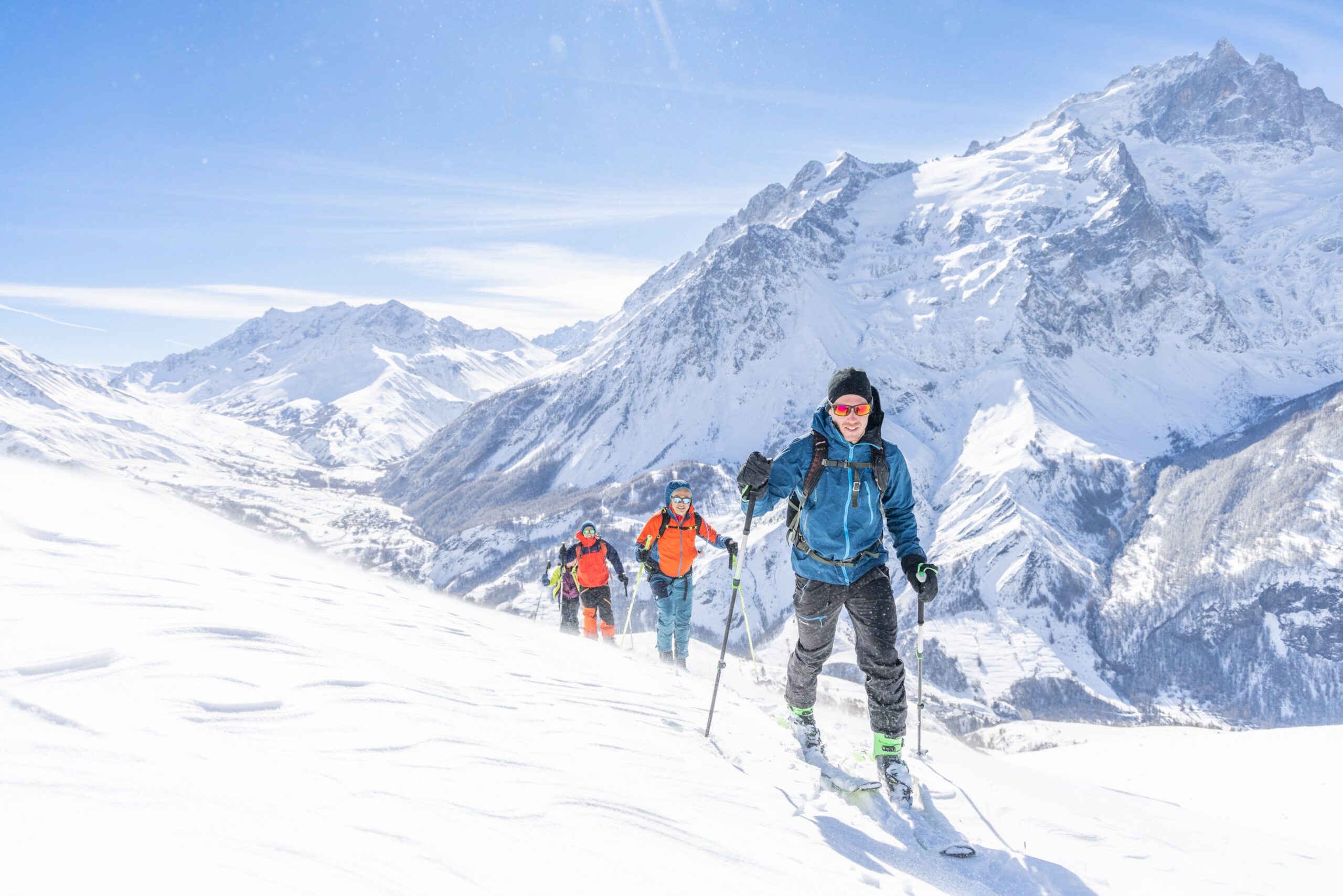
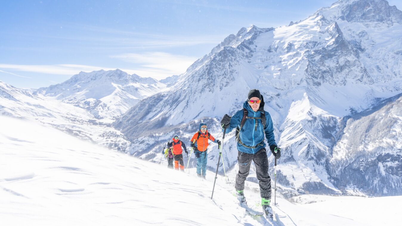
Immerse yourself in the heart of the Pays de la Meije, an exceptional playground for ski touring from La Grave and Villar d'Arène, between wild peaks, varied ski touring routes, and magnificent panoramas. Whether you're looking for day trips, marked trails for beginners, or longer mountain crossings, discover routes suitable for all levels and tips for preparing your trips in complete safety in the Écrins National Park.
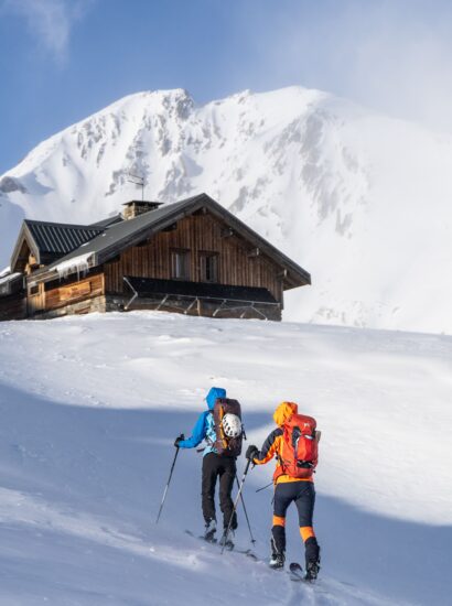
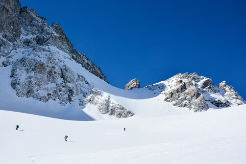
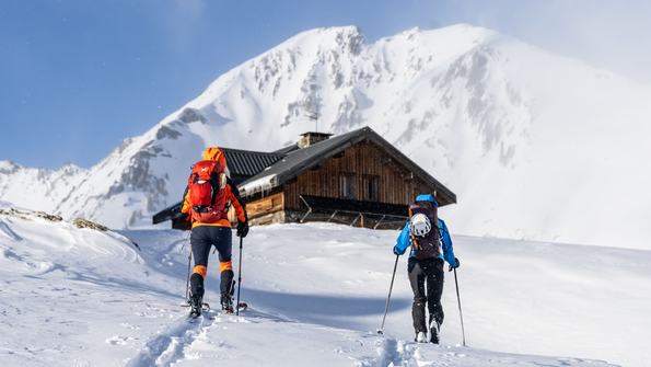
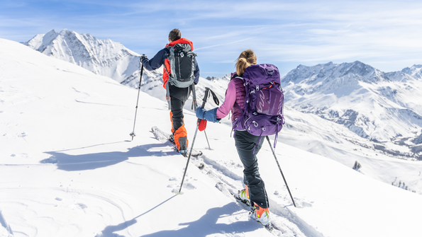
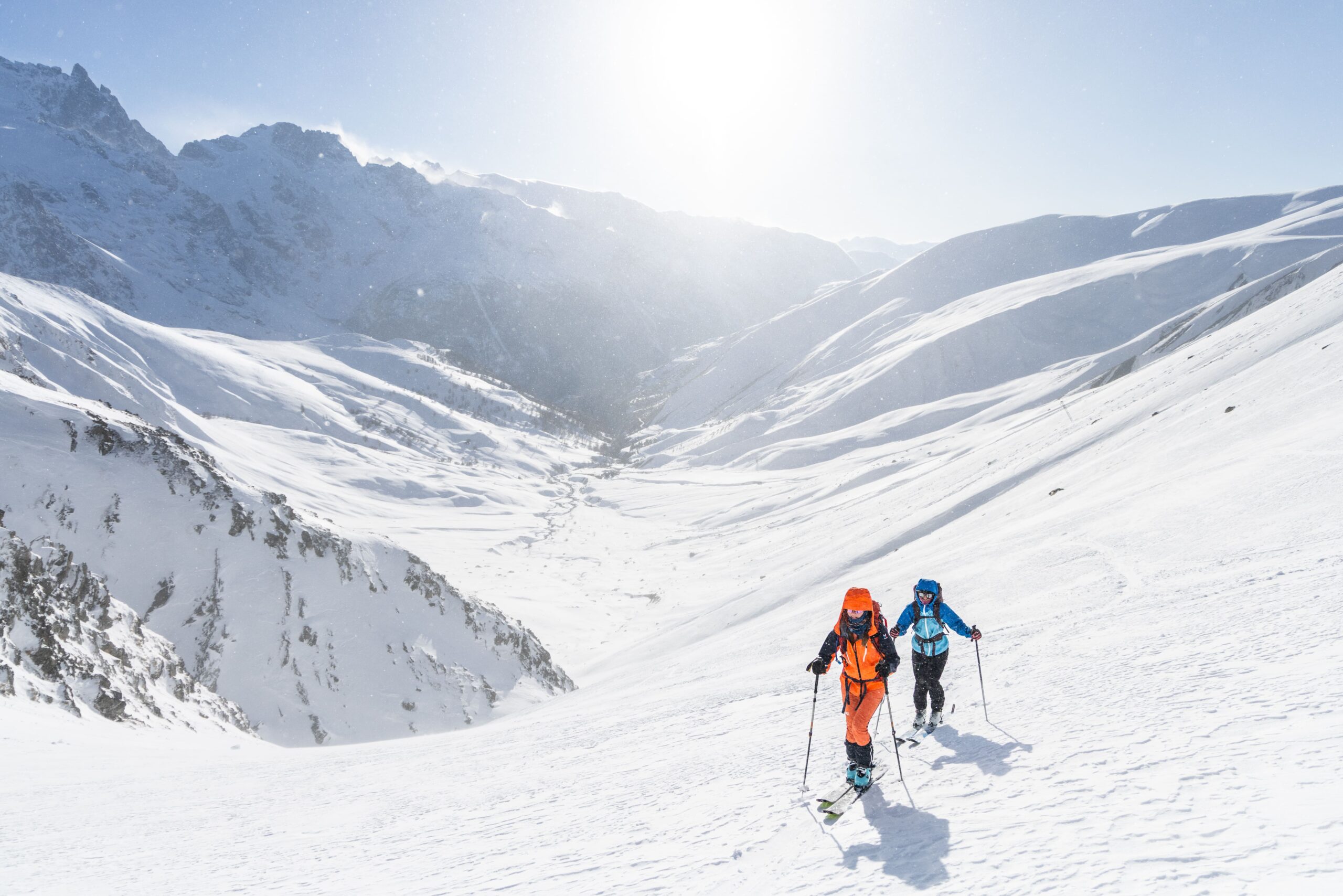
A ski destination par excellence, the geographical location of the Pays de la Meije makes it an ideal starting point for day-long ski touring itineraries. You will find marked ski touring routes, ascents and nights in mountain huts, or even departures from the La Grave cable car.
Caution Safety in ski touring
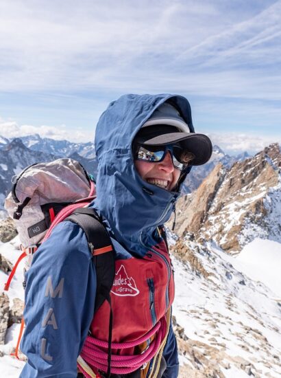
Ski touring requires a good knowledge of the mountains in winter, the ability to assess the risks of the terrain, and to recognize areas exposed to avalanches. If you are a beginner or have little experience, it is strongly recommended that you ski with a guide or mountain professional. Some routes require winter mountaineering skills and the use of specific equipment; always check the snow conditions and terrain before setting out.
You can find out about current snow conditions at the La Grave Guides Office.
To take things further, train with the guides and leaders of the Pays de la Meije: snow science and rescue training, tracking and trailblazing, risk management.
Ski touring involves significant risks, and each skier is responsible for their own safety. Strictly follow the ANENA recommendations .
Marked ski touring routes
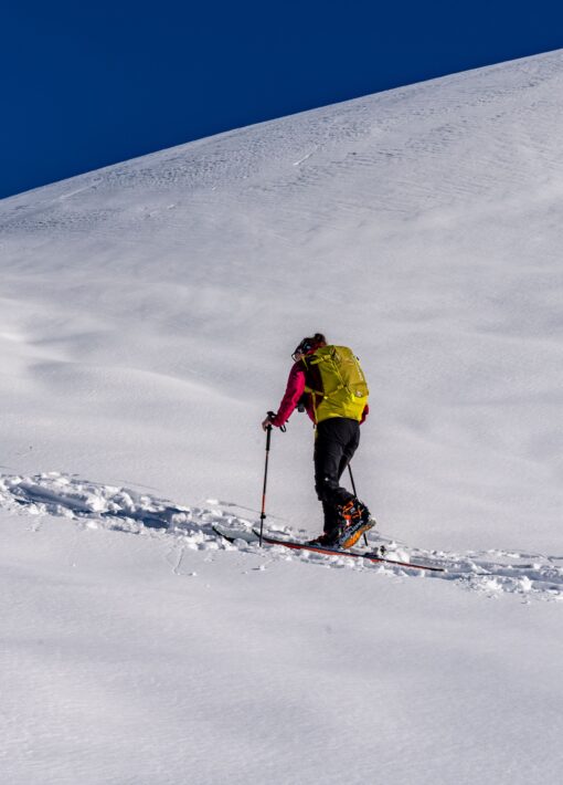
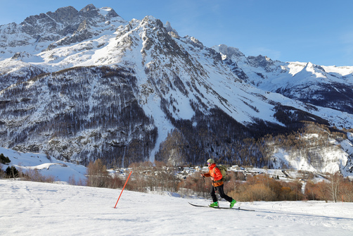
Two marked trails allow you to try out ski touring in Villar d'Arène. You can choose to climb up to Lake Pontet or to the Crête de l'Aiguillon, offering spectacular views of the Écrins peaks and the Romanche Valley. The trail starts from Villar d'Arène, opposite the Hôtel Les Agneaux.
- Pontet Lake (1,980 m) + 350 m
- L’Aiguillon (2,091 m) + 450 m – For L’Aiguillon, a steady climb to the northwest takes you to a summit offering exceptional 360° views, ideal for a first ski outing.
The trailsarefreely accessible andmarkedwith signposts,but are not secured. A safety commission will decide whether to open or close the trails depending on snow conditions. Please respect their decisions. There are information boards at the start and finish points, as well as an avalanche transceiver checkpoint at the start. At the finish line in Aiguillon, you will find a sign with advice for the descent.
As these trails are not secured, you are responsible for your own safety. The information panel at the start of the trails provides advice on how to prepare for your hike.
All our ski touring itineraries
We offer a list of possible itineraries starting from Villar d'Arène and La Grave, but we cannot guarantee their feasibility. Please check the conditions.
-
- La Grave
- Villar-d'Arêne
- Easy-Green (1)
- Moderate-Blue (3)
- Fairly difficult—Red (3)
- Hard-Black (2)
-
213Confirm
-
Villar-d'Arêne
 equipment
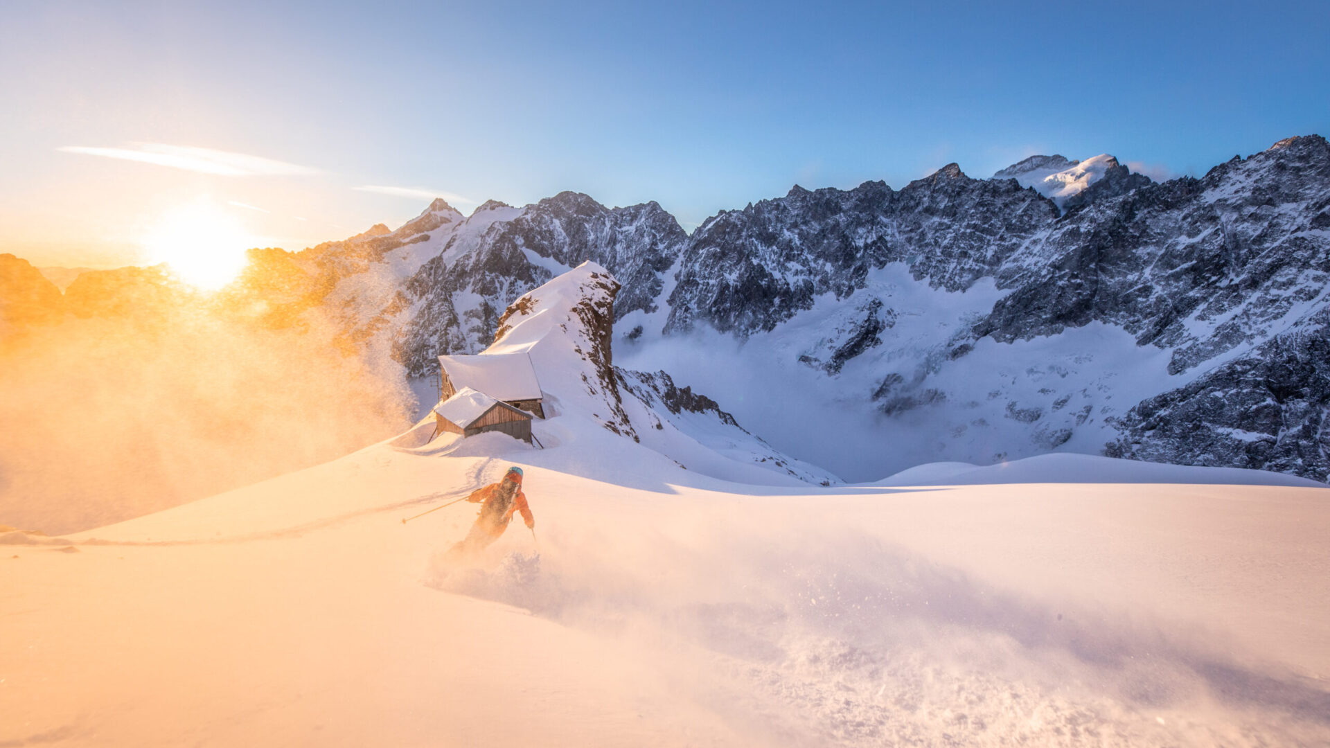
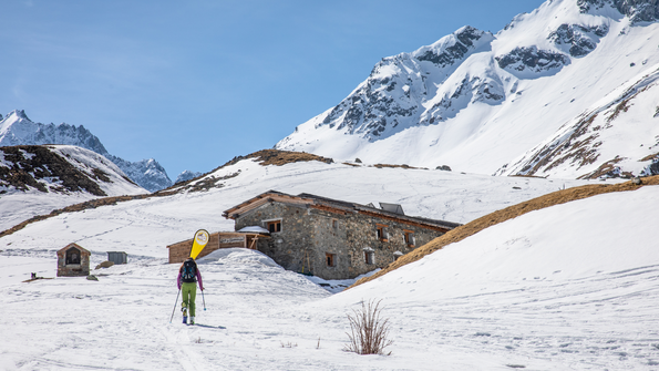
The Adèle Planchard mountain hut on the ski trail…
- Distance 13 km
- Daily duration 5:00 a.m.
- Elevation gain 1,600 m
-
Villar-d'Arêne
 equipment
The Chamoissière and Alpe de Villar d…
- Distance 5 km
- Daily duration 3:00 a.m.
- Elevation gain 425 m
-
Villar-d'Arêne
 equipment
Pontet's Lake via ski touring
- Distance 2 km
- Daily duration 3:00 a.m.
- Elevation gain 310 m
- Elevation loss 310 m
-
La Grave
 equipment
High route cases – Ski touring
- Roaming duration 6 days
- Elevation gain 5,380 m
-
La Grave
 equipment
The Emparis Plateau on a ski tour
- Distance 7 km
- Daily duration 3:00 a.m.
- Elevation gain 900 m
-
Villar-d'Arêne
 equipment
The Chamoissière Hill on a ski tour
- Distance 8 km
- Daily duration 4:30 a.m.
- Elevation gain 850 m
-
La Grave
 equipment
Ski touring to the Goléon refuge
- Distance 5 km
- Daily duration 2 hours 30 minutes
- Elevation gain 800 m
-
La Grave
 equipment
The Grave Signal in ski touring
- Distance 4km
- Daily duration 2 hours 30 minutes
- Dénivelé positif 640m
-
Villar-d'Arêne
 equipment
Aiguillon Ridge
- Distance 3 km
- Daily duration 3:30 a.m.
- Elevation gain 420 m
- 1
- 2
Other routes starting from Villar d'Arène
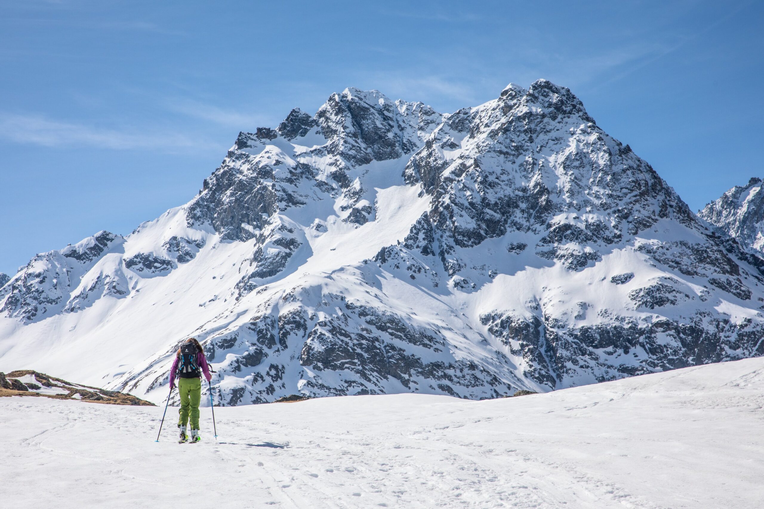
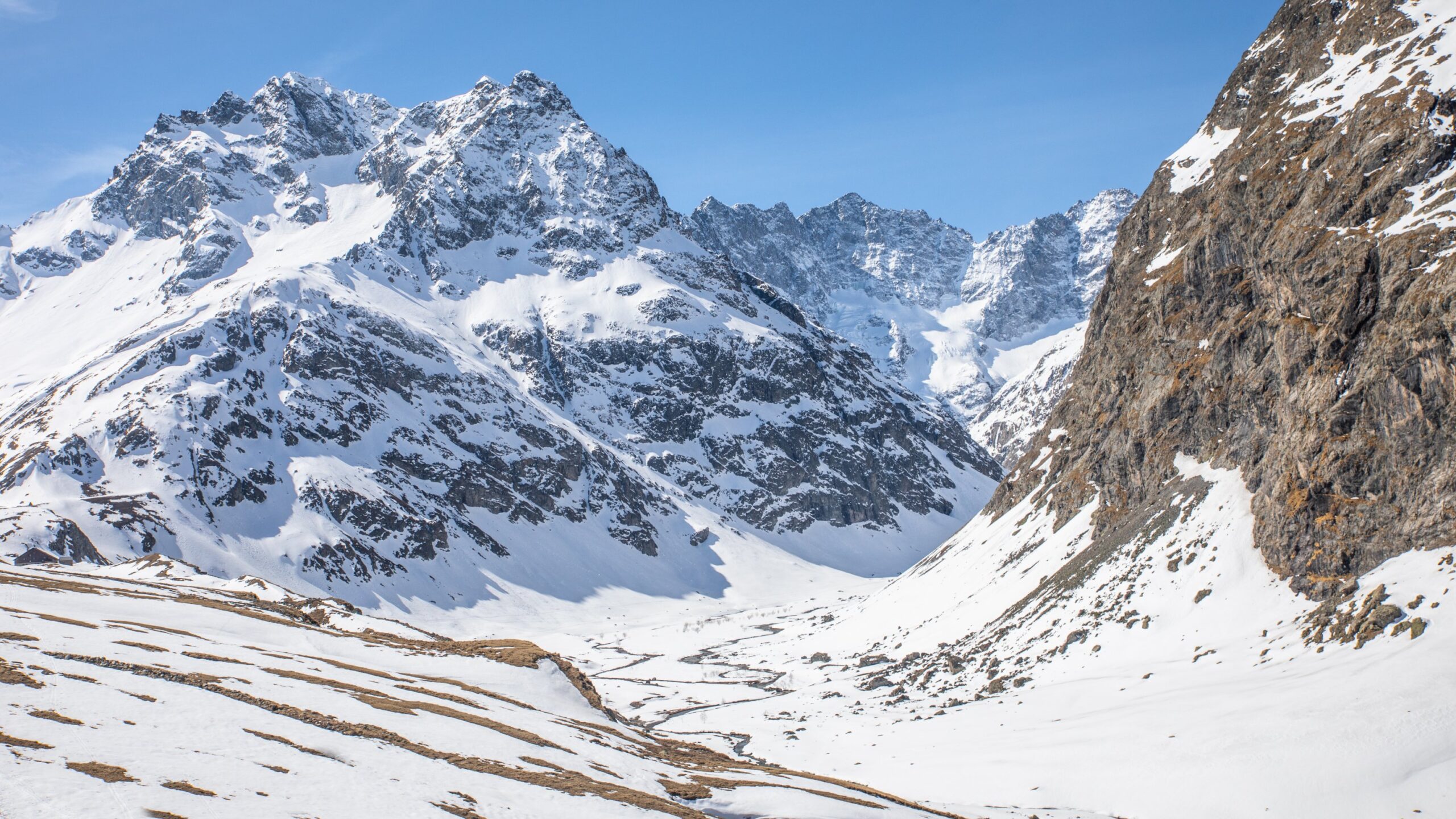
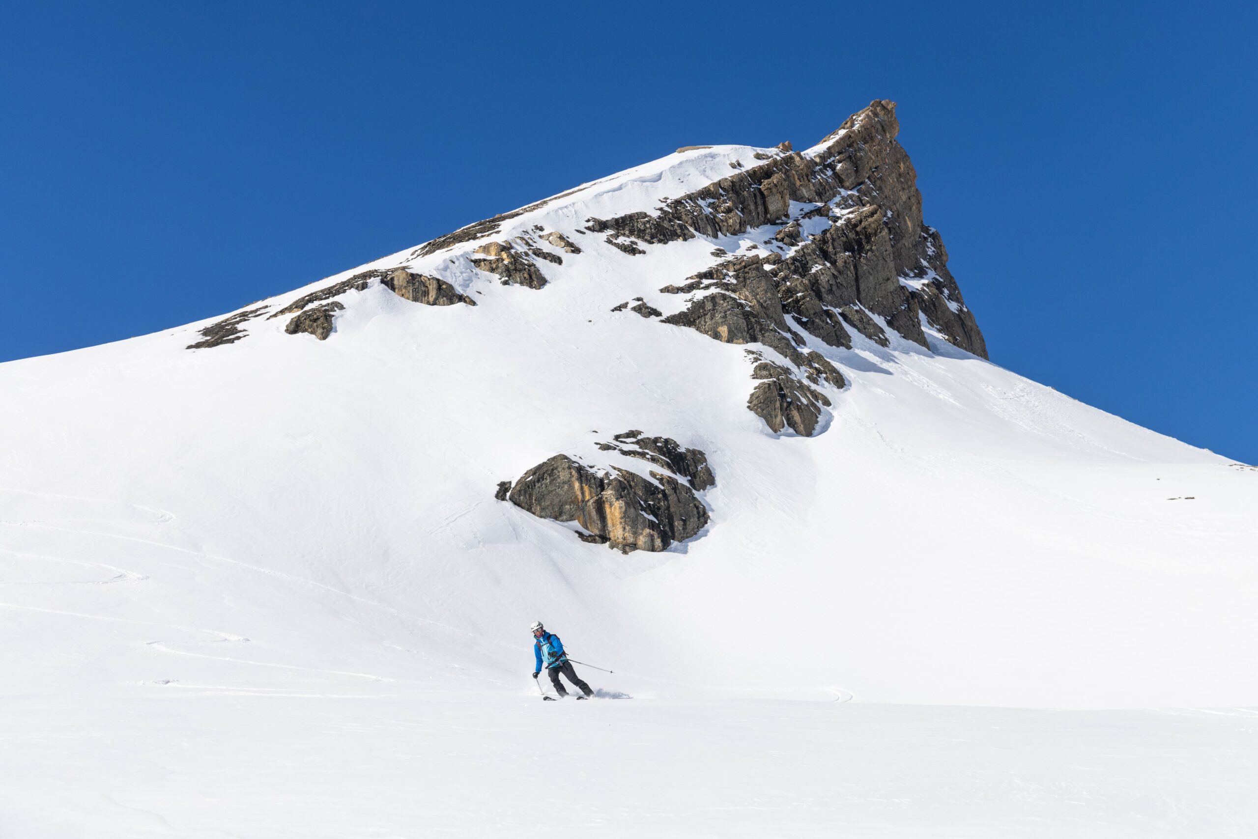
This corner of the valley is a true paradise for spring skiing. Nestled in the heart of the Écrins National Park, it offers wild and unspoiled trails, far from the hustle and bustle and crowds. Perfectly groomed snow, magnificent landscapes, and unspoiled nature... Everything you could dream of for a wonderful outing in the mountains of Oisans.
Day trips
- Arsine Pass (2,340 m) | Elevation gain: 670 m
- Bosse de Chamoissière (2,500 m) | Elevation gain: 831 m
- Tête de Pradieu (2,844 m) | Elevation gain: 1,210 m
- Brèche du Peigne (2,920 m) | Elevation gain: 1,268 m
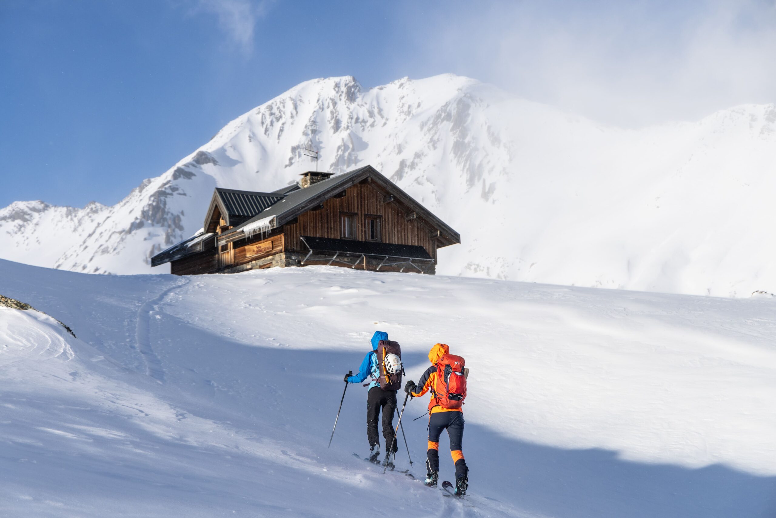
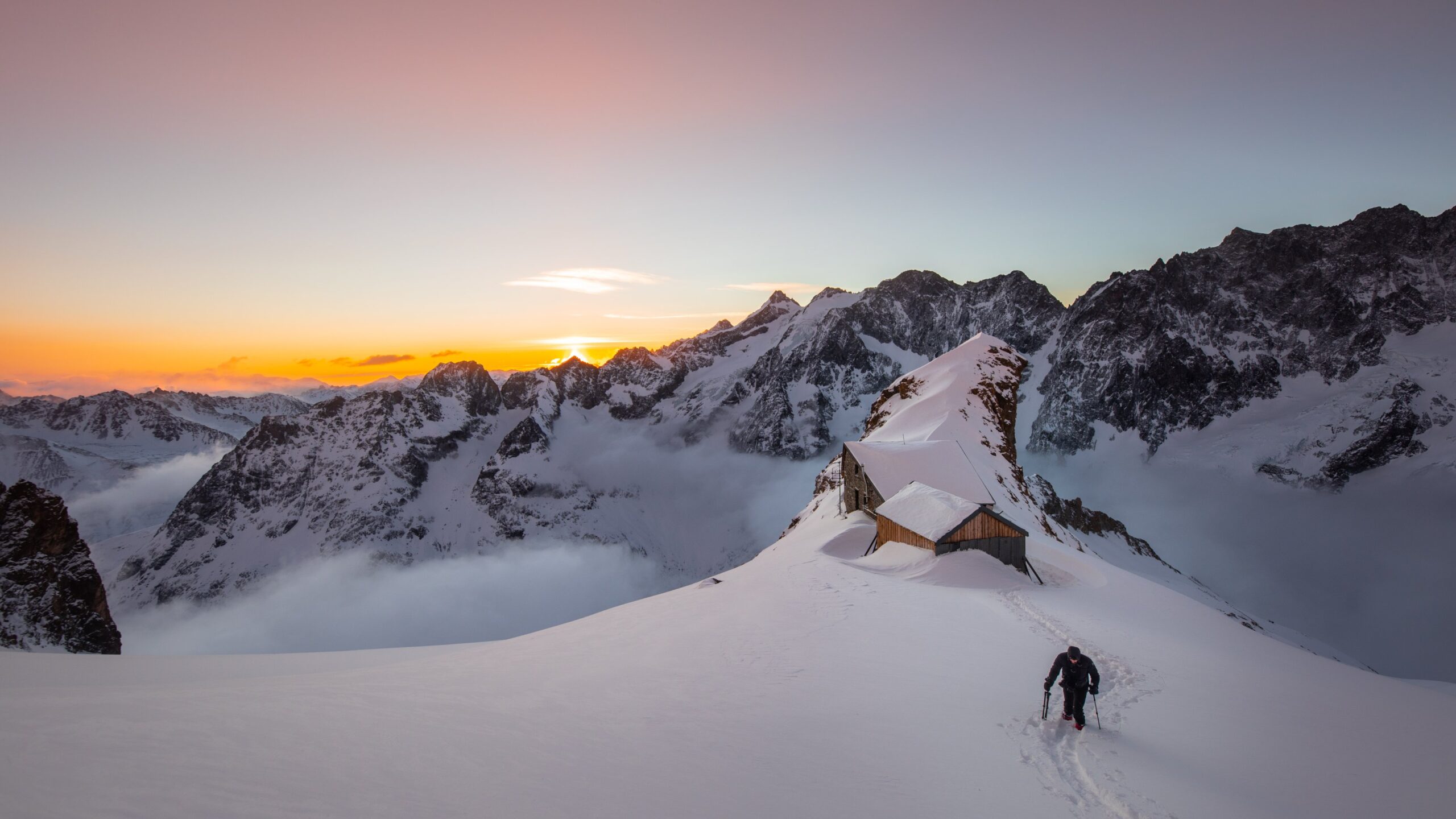
With overnight stay in a mountain hut
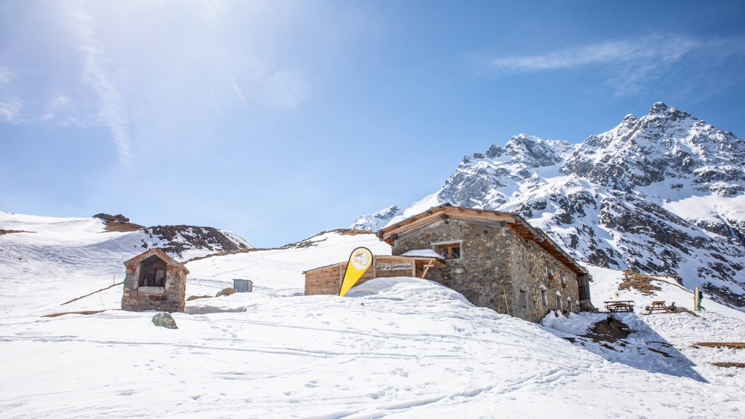
From the Alpe de Villar d'Arène refuge (2,079 m) or the Chamoissière refuge (2,106 m)
- Fontenil Pass (2,980 m) | Elevation gain: 900 m
- Clothilde Pass (3,050 m) | Elevation gain: 900 m
- Pic de Chamoissière (3,191 m) | Elevation gain: 1,112 m
- Adèle Planchard Refuge (3,169 m) | Elevation gain: 1,200 m
- Roche Faurio Pass (3,376 m) | Elevation gain: 1,370 m
- Cordier Pass (3,503 m) | Elevation gain: 1,460 m
- Pic de Neige Cordier (3,614 m) | Elevation gain: 1,535 m
- Col du Pavé (3,554 m) | Elevation gain: 1,640 m
- Clot des Cavales Pass (3,765 m) | Elevation gain: 1,686 m
- La Grande Ruine (3,765 m) | Elevation gain: 1,686 m
Other routes starting from the La Grave cable car
Day discovery itineraries
- Lauze Dome
- The Selle valley, descents to La Bérarde or Saint-Christophe-en-Oisans
- The short version of the Tour de la Meije
- The Enfetchores itinerary.
With overnight stay in a mountain hut
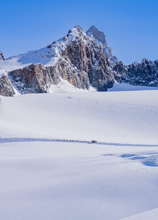
- The Rake Tour
- Day 1: Elevation gain: 1,270 m | Ruillans station (3,200 m) > Vallon de la Selle via Dôme de la Lauze (3,535 m) > Brèche du Râteau (3,232 m) > Vallon des Étançons > Refuge du Promontoire (3,092 m).
-
- Day 2: Elevation gain: 265 m | Brèche de la Meije (3,357 m) > Les Enfetchores > La Grave (1,400 m).
South-facing routes starting from Le Chazelet
The Chazelet station, located at an altitude of 1,800 meters on the southern slope, facing La Meije and its glaciers, offers an ideal starting point for ski touring. To reach the slopes on the Emparis side, you can take the ski lift up the steep slopes, gaining a few meters of elevation.
Day discovery itineraries
- Signal de La Grave (2,445 m) | Elevation gain: 645 m
- Le Gros Têt (2,613 m) | Elevation gain: 813 m
- La Petite Buffe (2,683 m) | Elevation gain: 883 m
- Martignare Pass (2,763 m) | Elevation gain: 963 m
- Pics de la Buffe d’En Haut (2,933 m) | Elevation gain: 1,133 m
- Pic du Mas de La Grave (3,021 m) | Elevation gain: 1,220 m
Routes starting fromLes Hières Les Hières
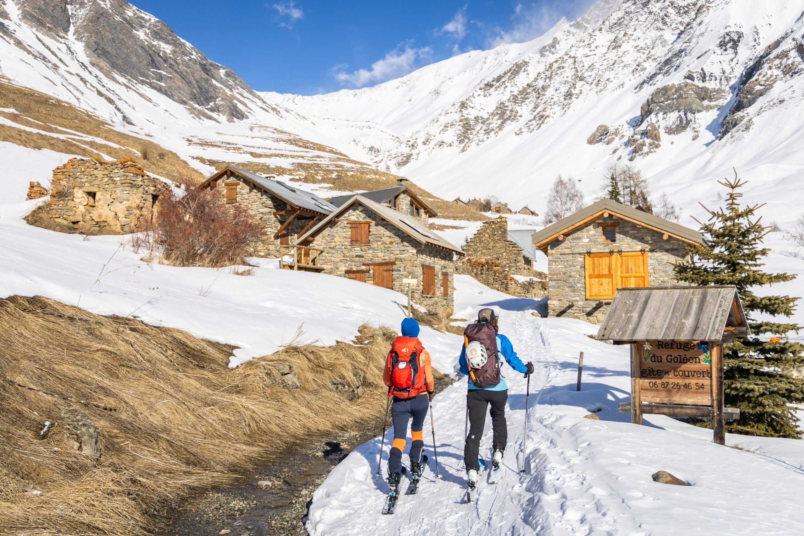
Located above La Grave, the village of Les Hières is the last one accessible by car. In winter, you have to park at the entrance and walk through the village. It is one of the sunniest hamlets in the valley.
Access to the Goléon refuge is via an easy route, ideal for exploring the lake and the Goléon valley. This magnificent setting makes you want to linger and explore other routes higher up. You can reach the refuge by following the bottom of the valley or, depending on snow conditions, by passing through the Cruq des Aiguilles, staying on the south and then west slopes.
Day discovery itineraries
- Refuge du Goléon (2,500 m) | Elevation gain: 700 m – Cruq des Aiguilles (2,589 m) | Elevation gain: 1,000 m
- Col de la Charrat (2,884 m) | Elevation gain: 1,115 m
- Goléon Pass (2,873 m) | Elevation gain: 1,093 m
- Salvador Peak (3,202 m) | Elevation gain: 1,430 m
- Pic des Trois Evêchés north face (3,118 m) | Elevation gain: 1,300 m
With overnight stay in a mountain hut
From Refuge du Goléon (2,464 m)
- Col de la Charrat (2,884 m) | Elevation gain: 400 m
- Goléon Pass (2,873 m) | Elevation gain: 400 m
- Col Lombard (3,092 m) | Elevation gain: 600 m
- Salvador Peak (3,202 m) | Elevation gain: 700 m
- Aiguille de l’Argentière (3,237 m) | Elevation gain: 740 m
- Aiguille Centrale de la Saussaz (3,361 m) | Elevation gain: 860 m
- Aiguille du Goléon west ridge (3,427 m) | Elevation gain: 930 m
Routes starting from the Lautaret Pass
Day discovery itineraries
- Laurichard Pass (2,654 m) | Elevation gain: 600 m.
- Côte Plaine Pass (2,639 m) | Elevation gain: 630 m.
- Petit Galibier West (2,826 m) | Elevation gain: 850 m.
- Pointe de la Tête Noire or Pointe de la Mandette(2,842 m) | Elevation gain: 910 m
- Pic Blanc du Galibier (2,955 m) | Elevation gain: 1,000 m
- Pic des Trois Évêchés (3,116 m) – Pare ridge | Elevation gain: 1,100 m
- Pic de Combeynot Ouest (3,155 m) | Elevation gain: 1,100 m