Retour
randonnee
Retour
randonnee
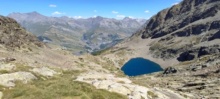
Evariste Chancel refuge and Puy Vachier lake from 2400m
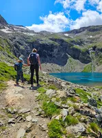
The traverse to the Refuge, via the Puy Vachier lake, offers a beautiful panorama of the alpine pastures and peaks of the valley's southern slopes: the Emparis plateau, the Goléon and Mas de la Grave peaks, the Aiguilles d'Arves and the Trois Evêchés.
Description
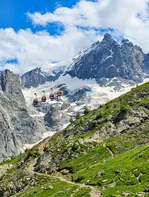
From the intermediate station of the Glaciers de la Meije cable cars,
at 2400m, follow the signs to Lac de Puy Vachier and Refuge Chancel.
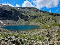
At the start, the path descends for around 60 metres. At the junction with the path leading down to La Grave, take the left-hand path that crosses the mountainside to the lake.
Then follow the path to the Chancel refuge, which takes about 30 minutes.
Return by the same route.
Environnements
-
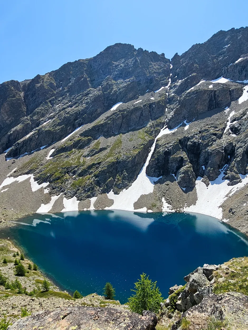
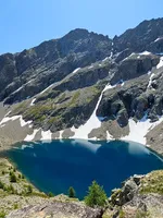
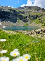
 Lake view
-
Mountain view
Tarifs
Free access.
Itinéraire
-
 Distance
4km
Distance
4km
-
 Type d'itinéraire
Aller/retour
Type d'itinéraire
Aller/retour
-
 Dénivelé positif
410m
Dénivelé positif
410m
-
 Durée journalière
03:00
Durée journalière
03:00
-
 Itinéraire balisé
Oui
Itinéraire balisé
Oui
-
 Altitude maximum
2508m
Altitude maximum
2508m
Période d'ouverture
From 01/05 to 31/10.
Langues parlées
-
 French
Tourisme adapté
-
Not accessible in a wheelchair
Localisation
Animaux
Animaux acceptés : Oui


-
Distance
4km
-
Durée journalière
03:00
-
Dénivelé positif
410m
-
Type d'itinéraire
Aller/retour