


 Retour
equipement
Retour
equipement
From Cervières to Col de l'Échelle
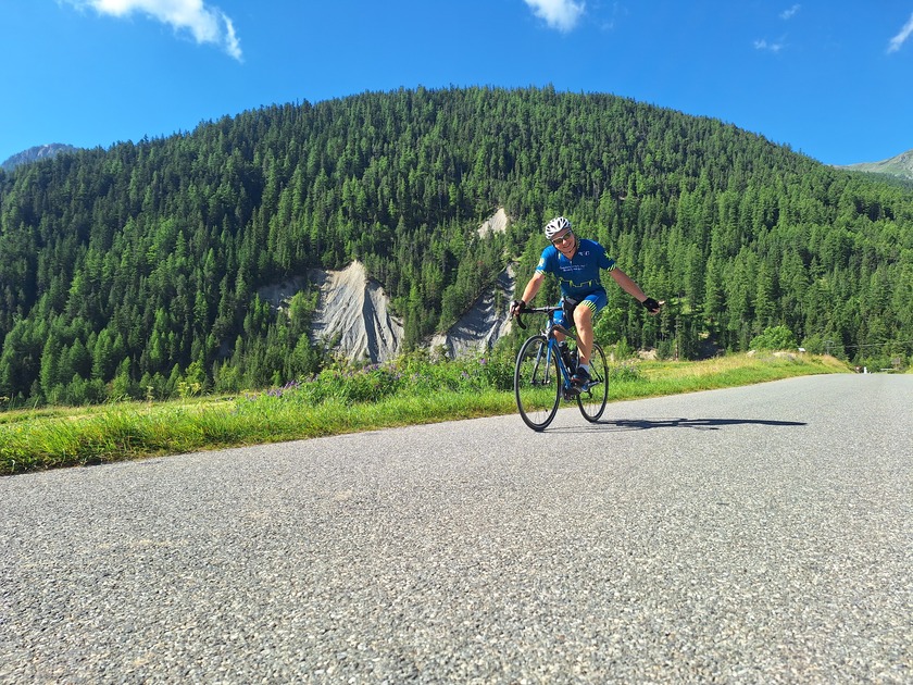
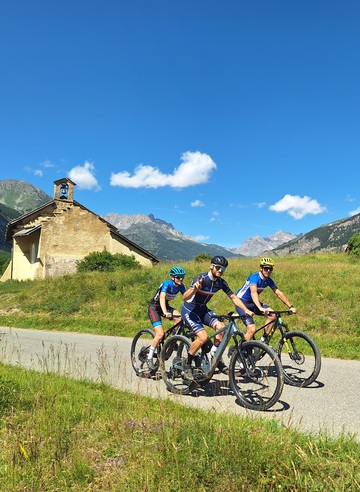

From the foot of the Col de l'Izoard, discover another sector of the Hautes Vallées: the Clarée valley and the Col de l'Echelle.
Description
Detailed itinerary :
From the parking lot, turn right onto the RD 902 to reach Briançon.
Once in Briançon, at the Font Christianne hamlet, continue straight ahead on the RD 902 until you reach the Izoard traffic circle.
At the traffic circle, take the 4th exit. Then take the 1st road on the right, following the sign "Toutes directions - Gap".
At the traffic circle in front of E.Leclerc, take the 1st exit on the right and cross the bridge.
At the next traffic circle, take the 1st exit on the right, then go straight on to take the Chaussée (steeply-sloping road).
Follow the Chaussée up to the cease-and-desist sign. At the intersection, turn right towards "Turin - Montgenèvre - Névache".
At the Champs de Mars traffic circle, continue in the direction of Turin to leave Briançon on the RN 94.
After approx. 7 km, at La Vachette, turn left towards "Vallée de la Clarée, Névache, Val-des-Prés", on the RD 944G.
In the village of La Vachette, at the church, turn left towards Névache. Continue straight on for 15 km (take care when crossing Val-des-Prés in July/August, which is regulated by an alternative traffic light).
At Névache - Roubion, turn right towards Col de l'Echelle and start climbing.
At the summit, continue straight on, stopping just before the descent to Italy.
Return by the same route
At the traffic circle at the bottom of the Chaussée à Briançon, take the leftmost exit onto rue Centrale (one-way street). At the end of Rue Centrale, head for Col de l'Izoard at the traffic circle to return to Cervières.
Équipements
-
 Cycle tourism route
-
Free car park
Environnements
-
 Town location
-
In centre of town
-
Mountain view
-
Overview on river
Tarifs
Free access.
Itinéraire
-
 Distance
66.3km
Distance
66.3km
-
 Type d'itinéraire
Aller/retour
Type d'itinéraire
Aller/retour
-
 Dénivelé positif
1223m
Dénivelé positif
1223m
-
 Dénivelé négatif
1226m
Dénivelé négatif
1226m
-
 Durée journalière
04h15
Durée journalière
04h15
-
 Itinéraire balisé
Oui
Itinéraire balisé
Oui
-
 Précision balisage
Directional road signs
Précision balisage
Directional road signs
-
Passage délicat
From July to August, the village center of Val-des-Prés is regulated by an alternative traffic light. Please respect the signs, as no two vehicles can pass each other in the village.
From mid-July to mid-August, the Haute Vallée road is very busy with motorized vehicles (cars and shuttles).
-
 Nature du terrain
Hard coating (tar, cement, flooring)
Nature du terrain
Hard coating (tar, cement, flooring)
-
 Altitude moyenne
1490m
Altitude moyenne
1490m
-
 Altitude maximum
1778m
Altitude maximum
1778m
Période d'ouverture
From 01/05 to 31/10 daily.
Langues parlées
-
 French
Localisation


-
Distance
66.3km
-
Durée journalière
04h15
-
Dénivelé positif
1223m
-
Dénivelé négatif
1226m