


 Retour
patrimoine naturel
Retour
patrimoine naturel
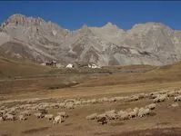
Lautaret pass - Natural Reserve of Combeynot
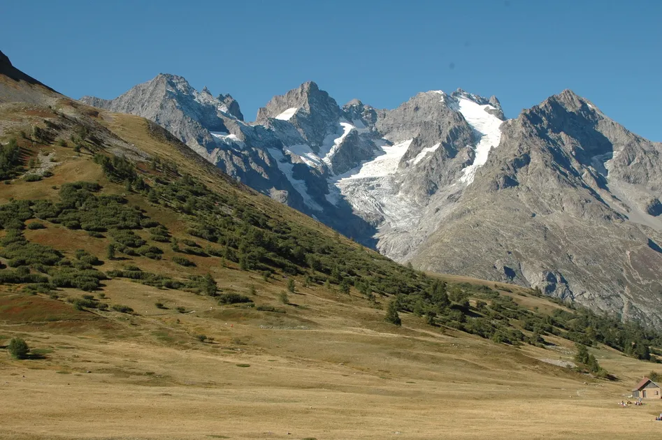


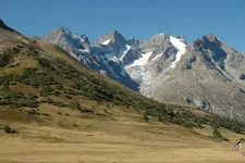
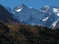

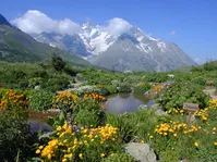
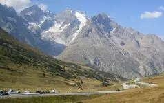
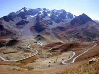
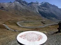
The Lautaret pass is the crossing point between the Romanche Valley and the Guisane Valley. It is also one of the lowest points on the ridge line separating the Northern Alps and the Southern Alps.
Description
The relatively gentle slopes leading up to this mountain pass were shaped by a glacier running into the two valleys on either side. Because of its accessibility,, the Lautaret Pass has long been an important transport route between Grenoble and Briançon, as well as a route over the Alps to Italy.
The road over the Galibier Pass starts out at the Lautaret Pass. The source of Guisane River is just above the pass. The Nature Reserve of Combeynot, with an area of 685 hectares, covers the entire NW face of the Combeynot peaks, visible from the Lautaret Pass.
Environnements
-
 Mountain view
-
Mountain location
-
Close to a public transportation
-
Isolated
-
Lake -5km away
-
River -5 km away
-
Village -2 km away
-
Close to GR footpath
Tarifs
Free of charge
Période d'ouverture
Throughout the year : open daily.
Langues parlées
-
 English
-
 French
-
 Italian
Tourisme adapté
-
Accessible for wheelchairs with assistance
Localisation


- Mountain
- Viewpoint
- Peak
- Mountain pass