


 Retour
randonnee
Retour
randonnee
The Source of the Romanche River
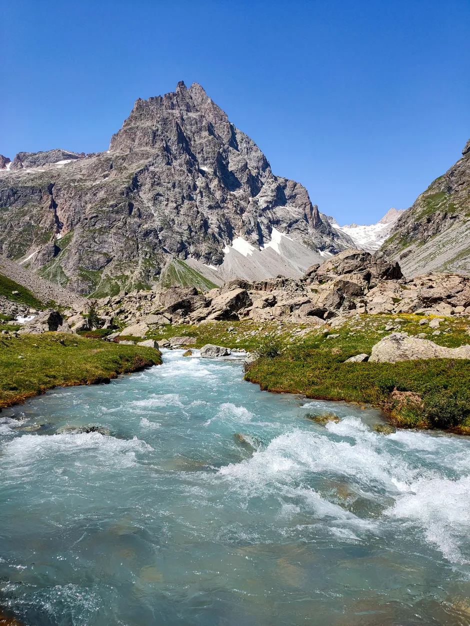
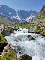
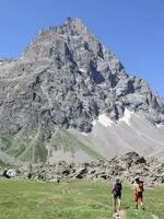
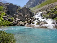
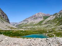
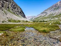
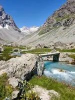

You will walk along the Romanche River all the way to its source. The path takes you through an idyllic valley at the foot of the high mountains of the Ecrins National Park. A gentle stroll in a high mountain setting!
Description
Start off on the GR 54 trail that climbs a steep hillside offering beautiful views of the valley.
At the junction, take to the right towards the Adèle Planchard Refuge.
The path leads to the Plan de l'Alpe, a gently inclined valley where walking is easy and the views fabolous.
At the Valfourche Bridge, where the valley splits in two, take to the right towards the Adèle Planchard Refuge.
Continue up to the Source of the Romanche River at 2143 m.
Go back the same way.
YOU ARE HIKING IN THE CENTRAL AREA OF THE ECRINS NATIONAL PARK. The Ecrins Massif is an exceptional environment with a rare natural, cultural and landscape heritage. To protect these riches, painted flags (blue – white – red) mark the central area where specific rules apply. Please follow the rules and regulations indicated by the icons on the information board.
Environnements
-
 Mountain location
Tarifs
Free access.
Itinéraire
-
 Distance
15km
Distance
15km
-
 Type d'itinéraire
Aller/retour
Type d'itinéraire
Aller/retour
-
 Dénivelé positif
480m
Dénivelé positif
480m
-
 Durée journalière
05:00
Durée journalière
05:00
-
 Itinéraire balisé
Oui
Itinéraire balisé
Oui
-
 Altitude maximum
2143m
Altitude maximum
2143m
Période d'ouverture
From 01/06 to 31/10 daily.
Localisation


-
Distance
15km
-
Durée journalière
05:00
-
Dénivelé positif
480m
-
Type d'itinéraire
Aller/retour