


 Retour
randonnee
Retour
randonnee
The mule path
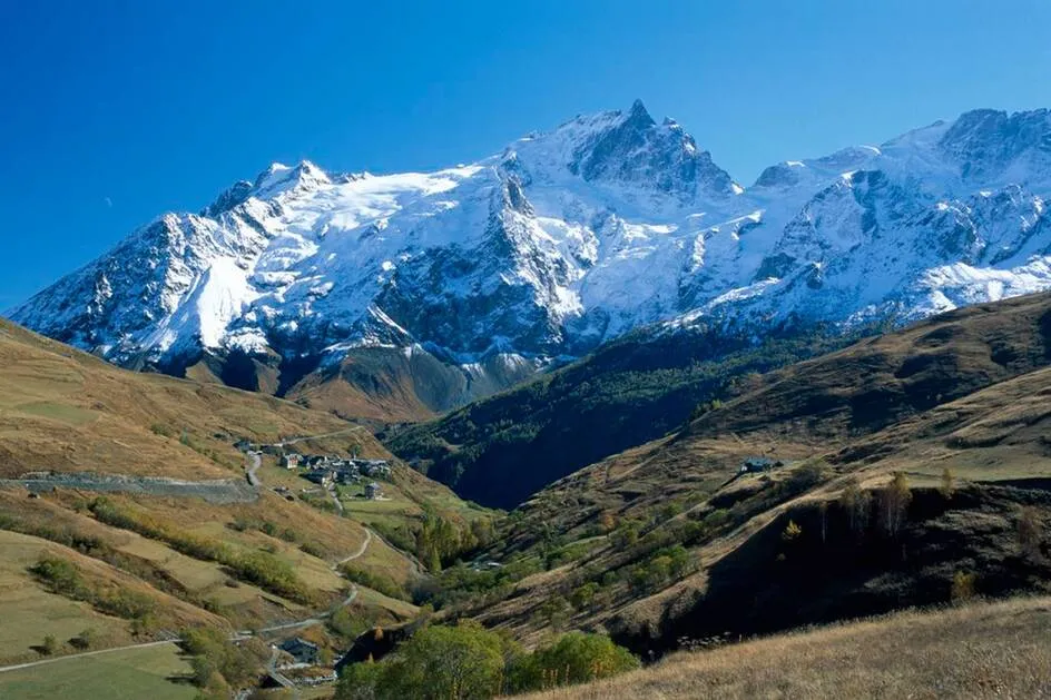

Hiking along this path, how can you not be struck by all the terraces which surround the villages of the canton? At the beginning of the last century they were all cultivated.
Description
This emblematic itinerary « Chemins d'Avant » (paths from the past) was used by the farmers going to mow the meadows on the Plateau d'Emparis. Mules, heavily laden with hay descended their precious loads on this path. Much used by hikers on the GR 54 trail, it has been damaged over time. If you respect the newly traced hairpin bends you will protect this beautiful itinerary.
Tarifs
Free access.
Bons plans
If you respect the newly traced hairpin bends you will protect this beautiful itinerary.
Itinéraire
-
 Distance
6.78km
Distance
6.78km
-
 Type d'itinéraire
BOUCLE
Type d'itinéraire
BOUCLE
-
 Dénivelé positif
459m
Dénivelé positif
459m
-
 Dénivelé négatif
459m
Dénivelé négatif
459m
-
 Durée journalière
03:00
Durée journalière
03:00
-
 Altitude maximum
2156m
Altitude maximum
2156m
Localisation
Documents

Thèmes
-
Guidebook with maps/step-by-step : From the starting point at Chazelet (1770 m), descend in the direction of the village along by the car park. At the first fork, do not go up in to the village but take the hairpin bend to the right in the direction of the foot of the ski-lifts. Cross the Gâ at the departure of the chairlift then follow the large hairpin bends that go up to the Eastern slope of the Plateau d'Emparis. Pass the banks (2060 m) and, at this point, fork to the left in the direction of the Southern edge of the Plateau d'Emparis. An exceptional view of Malaval valley situated at 1000 m further down. Pass close to the Maison Rouge » ruins and the « Pré Veyraud » (2132m). Fork to the right in the direction of the small mountain pass (2164 m). At this point, join the GR 54, and follow it descending to the banks. At the banks, fork to the left and take the path that crosses the Plateau d'Emparis ski lift and reach Clot Raffin hamlet. Take the path that leads to the bridge situated at the departure of the ski-lifts. Go up to Chazelet on a large track to return to the starting point for this itinerary.
-
Tips : If you respect the newly traced hairpin bends you will protect this beautiful itinerary.


-
Distance
6.78km
-
Durée journalière
03:00
-
Dénivelé positif
459m
-
Dénivelé négatif
459m