


 Retour
randonnee
Retour
randonnee
The Gravière loop
Villar-d'Arêne
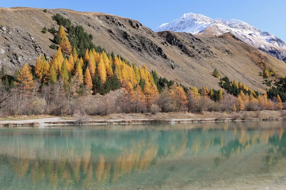
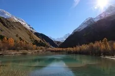
A family hike to delight the eyes of young and old alike.
Description
Turn right towards the Romanche, then head upstream, staying on the trail.
At the parking lot at the bottom of the Gravière, level with the Ecrins National Park signs, turn left to return to the lake.
There are two possible routes here, either the one below, which is wider and flatter. Alternatively, take the path on your right, which is finer and more undulating as you gain height on the south-facing slope.
Follow the path to the lake and parking lot.
Complément accueil
Very easy
Tarifs
Free access.
Itinéraire
-
 Distance
3.06km
Distance
3.06km
-
 Type d'itinéraire
BOUCLE
Type d'itinéraire
BOUCLE
-
 Dénivelé positif
55m
Dénivelé positif
55m
-
 Dénivelé négatif
54m
Dénivelé négatif
54m
-
 Durée journalière
01:00
Durée journalière
01:00
-
 Itinéraire balisé
Oui
Itinéraire balisé
Oui
-
 Précision balisage
Grande Randonnée markers
Précision balisage
Grande Randonnée markers
-
 Altitude maximum
1723m
Altitude maximum
1723m
Période d'ouverture
From 15/04 to 11/11 daily.
Localisation
Documents

Animaux
Animaux acceptés : Oui


05181 Villar-d'Arêne
Tel :
04 76 79 90 05
-
Distance
3.06km
-
Durée journalière
01:00
-
Dénivelé positif
55m
-
Dénivelé négatif
54m
Préparez votre randonnée
Comment venir ?