


 Retour
randonnee
Retour
randonnee
The GR54 from La Grave to Arsine
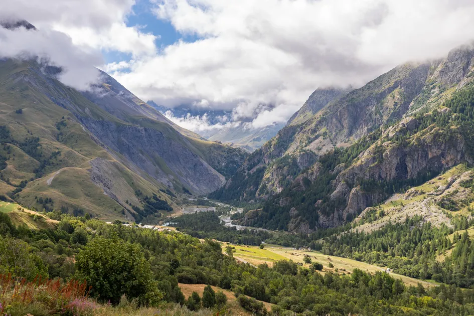
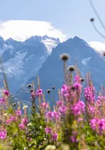
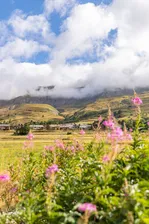
Path linking the village of La Grave to the small village of Arsine after Villar d'Arène via the GR54.
Description
Starting from the tourist office in La Grave, follow the departmental road until you reach the village exit toward Villar d'Arène.
Across from the “Le Sérac” hotel, head down the small road toward the arboretum.
At the bottom of the descent, continue straight ahead to cross the Romanche River and the bridge.
Take the path to the left of the bridge. At the fork, follow the GR50/54, which climbs toward Les Vernois. From here, you’ll be looking up at the Tabuchet Glacier and La Meije.
Continue on, then cross the Chal d’Outre woods via a wide trail.
The trail leads to a small bridge that takes you into the village of Villar d’Arène; follow the GR50/54 without crossing the river to continue the hike.
Continue along the trail beside the Romanche River for about 45 minutes.
At the “Pont des Brebis,” turn left onto the small road to reach Arsine, near the campground or the guesthouse.
On the return trip, take the same route as on the way there until you reach Villar d’Arène, then cross the bridge over the Romanche.
Pass the Saint-Martin Church, then follow the Romanche River until you cross it again a little further on. Continue until you rejoin the original route.
"YOU ARE HIKING IN THE HEART OF THE ÉCRINS NATIONAL PARK
The Écrins Massif is an exceptional area, open to all, with a natural, cultural, and scenic heritage that is truly unique. To protect these treasures, the heart of the park is marked by blue-white-red flags, and certain regulations must be followed within this area. Please review these regulations as you plan your hike to help preserve this shared resource at ecrins-parcnational.fr."
Environnements
-
 Close to a public transportation
-
Forest location
-
Near shuttle stop
-
Mountain location
-
Resort centre
-
Village -2 km away
-
Close to GR footpath
Tarifs
Free access.
Itinéraire
-
 Distance
5.7km
Distance
5.7km
-
 Type d'itinéraire
Aller simple
Type d'itinéraire
Aller simple
-
 Dénivelé positif
440m
Dénivelé positif
440m
-
 Dénivelé négatif
258m
Dénivelé négatif
258m
-
 Durée journalière
02:00
Durée journalière
02:00
-
 Itinéraire balisé
Oui
Itinéraire balisé
Oui
-
 Nature du terrain
Ground,
Not suitable for strollers
Nature du terrain
Ground,
Not suitable for strollers
Période d'ouverture
From 15/05 to 30/11 daily.
Subject to favorable snow and weather conditions.
Ouverture complémentaire
-
Subject to favorable weather
-
Subject to snow conditions
Langues parlées
-
 French
Labels
- GR®
Localisation


-
Distance
5.7km
-
Durée journalière
02:00
-
Dénivelé positif
440m
-
Dénivelé négatif
258m