


 Retour
randonnee
Retour
randonnee
The Ayes Trail from Le Chazelet
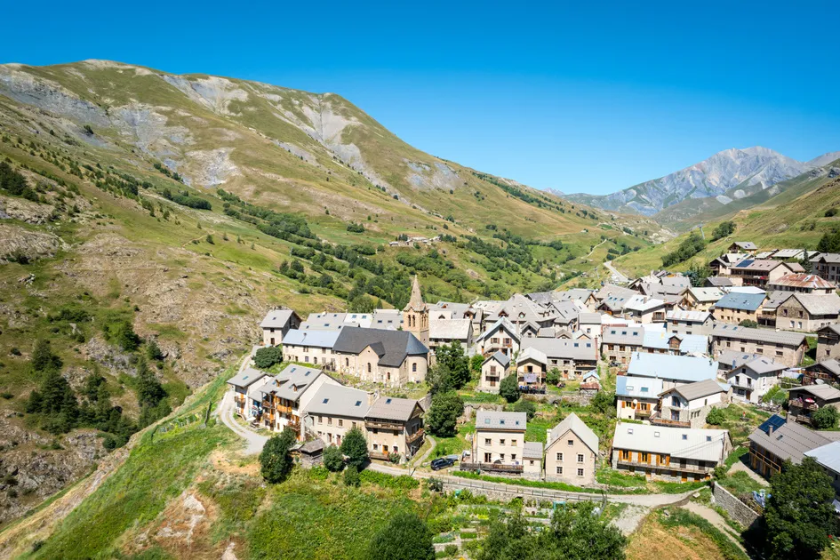
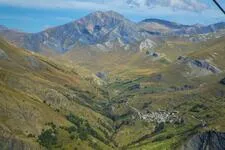
This trail is maintained primarily to make the mountains a place for sharing, accessible to as many visitors as possible. The reward is a panoramic view of the upper Romanche Valley.
Description
After parking your car in the hamlet of Chazelet, set out on foot toward the Emparis Plateau, following the GR® 54. Take the dirt trail that climbs north toward the Meije glaciers.
At a clearly marked hairpin turn, leave the main trail and take the path on the left (as you’re going uphill). Continue until you reach a bench offering a panoramic view of the Écrins massif. It is located at the edge of the cliffs overlooking the RD1091, the departmental road below in the valley.
Environnements
-
 Mountain view
-
Mountain location
-
Close to GR footpath
-
Overview on river
-
Panoramic view
Tarifs
Free of charge.
Itinéraire
-
 Distance
3km
Distance
3km
-
 Type d'itinéraire
Aller/retour
Type d'itinéraire
Aller/retour
-
 Dénivelé positif
100m
Dénivelé positif
100m
-
 Dénivelé négatif
100m
Dénivelé négatif
100m
-
 Durée journalière
01:15
Durée journalière
01:15
-
 Itinéraire balisé
Oui
Itinéraire balisé
Oui
-
 Nature du terrain
Stone,
Ground
Nature du terrain
Stone,
Ground
-
 Altitude maximum
1900m
Altitude maximum
1900m
Période d'ouverture
From 01/04 to 15/10 daily.
Subject to favorable snow and weather conditions.
Ouverture complémentaire
-
Subject to favorable weather
-
Subject to snow conditions
Langues parlées
-
 French
Localisation
Animaux
Animaux acceptés : Oui


-
Distance
3km
-
Durée journalière
01:15
-
Dénivelé positif
100m
-
Dénivelé négatif
100m