


 Retour
randonnee
Retour
randonnee
Signal de La Grave loop
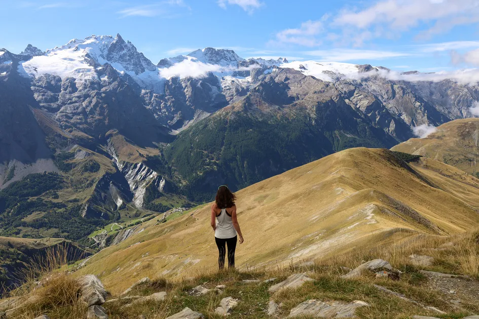

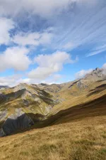
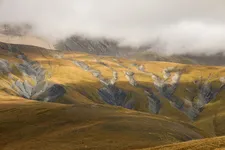

The Signal de La Grave towers a thousand meters above the Romanche valley.
Its summit offers a panoramic view of the entire canton. It also offers exceptional views of the northern slopes of the Meije.
Description
The summit also offers views of the Goléon peak and the Martignare valley, which opens the door to Savoie. The climb from La Grave is steep and south-facing, so it's best to start early in the morning. Along the way, you can refresh yourself at the fountains of Ventelon, Les Clots and Les Terrasses.
Loop details :
From the La Grave Tourist Office, walk up through the village towards the church, leaving it on your left and continuing straight on uphill, passing the last houses and forking off very quickly to the right towards Ventelon, a hamlet that can be reached in about an hour; walk up the hamlet and take the good track that leads to "Les Clots" (1916 m), pass in front of the fountain and 100 m further on take the path on the right that climbs up. At the next junction, turn right towards Celle des Juges, then 200 m further on, leave the path which continues up the steep Cote Belle slope; follow the path, in places poorly marked, which leads to a small collet (2252 m) on the Signal ridge, and follow it to the right as far as the summit (2446 m) (cairn). Descend by the same route as before, but when you reach the collet, continue along the "côte rouge" ridge: reach the top of the Chazelet lifts and turn right towards Les Plagnes. Once you've reached a good track, turn left and continue along it, passing under the small state forest, as far as the oratory (orientation table); cross the small road and take the GR 54 opposite, which leads to Les Terrasses and then across the "champs Lombards" to La Grave.
Environnements
-
 Mountain view
-
Mountain location
Tarifs
Free access.
Itinéraire
-
 Distance
12km
Distance
12km
-
 Type d'itinéraire
BOUCLE
Type d'itinéraire
BOUCLE
-
 Dénivelé positif
1070m
Dénivelé positif
1070m
-
 Durée journalière
05:30
Durée journalière
05:30
-
 Itinéraire balisé
Oui
Itinéraire balisé
Oui
-
 Passage délicat
Warm, south-facing itinerary
Passage délicat
Warm, south-facing itinerary
-
 Nature du terrain
Stone,
Ground,
Hard coating (tar, cement, flooring),
Not suitable for strollers
Nature du terrain
Stone,
Ground,
Hard coating (tar, cement, flooring),
Not suitable for strollers
Période d'ouverture
From 15/05 to 30/11 daily.
Subject to snow conditions.
Ouverture complémentaire
-
Subject to snow conditions
Langues parlées
-
 French
Localisation

Animaux
Animaux acceptés : Oui


-
Distance
12km
-
Durée journalière
05:30
-
Dénivelé positif
1070m
-
Type d'itinéraire
BOUCLE