


 Retour
randonnee
Retour
randonnee
Signal de la Grave from Le Chazelet
La Grave
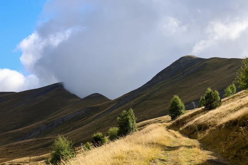
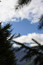
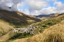
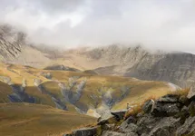
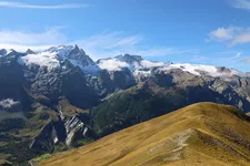
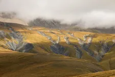
This mountain, which overlooks the Romanche, is best known for its exceptional panoramic views of the Meije and the glaciers of the northern Écrins massif.
Description
Start from Le Chazelet, at the end of the resort road.
Take the track on the left just after the large, clearly visible building. Follow it to the edge of the La Grave state forest and the Côte Rouge sector.
The last part of the ascent to Signal de La Grave is more demanding, but the view is well worth the effort.
The return journey takes the same route.
Itinéraire
-
 Distance
7.81km
Distance
7.81km
-
 Type d'itinéraire
Aller/retour
Type d'itinéraire
Aller/retour
-
 Dénivelé positif
628m
Dénivelé positif
628m
-
 Dénivelé négatif
627m
Dénivelé négatif
627m
-
 Altitude maximum
2410m
Altitude maximum
2410m
Langues parlées
-
 French
Localisation


05320 La Grave
Tel :
04 76 79 90 05
-
Distance
7.81km
-
Dénivelé positif
628m
-
Dénivelé négatif
627m
-
Type d'itinéraire
Aller/retour
Préparez votre randonnée
Comment venir ?