


 Retour
randonnee
Retour
randonnee
L'Aiguillon from Les Hières
La Grave
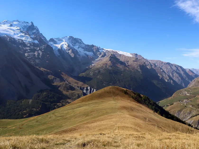

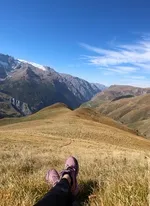
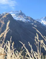
Starting from the village of Les Hières (1770m), this route takes you up to the Aiguillon (2095m), a viewpoint offering 360° panoramic views of the Meije region.
Description
From the entrance to the village of Les Hières, follow the carriage path along the valley towards Valfroide /Entraigues.
Cross the torrent du Maurian at the small wooden bridge on the right;
Then take the narrow path up to l'Aiguillon. Allow 1h30 to reach the summit.
For the return journey, follow the same route.
Environnements
-
 Mountain location
-
Village -2 km away
-
Presence of livestock and guard dogs
Tarifs
Free access.
Itinéraire
-
 Distance
4km
Distance
4km
-
 Type d'itinéraire
Aller simple
Type d'itinéraire
Aller simple
-
 Dénivelé positif
392m
Dénivelé positif
392m
-
 Dénivelé négatif
100m
Dénivelé négatif
100m
-
 Durée journalière
02:30
Durée journalière
02:30
-
 Nature du terrain
Stone,
Ground
Nature du terrain
Stone,
Ground
-
 Altitude maximum
2095m
Altitude maximum
2095m
Période d'ouverture
From 15/05 to 30/11 daily.
Subject to favorable snow and weather conditions.
Ouverture complémentaire
-
Subject to favorable weather
-
Subject to snow conditions
Langues parlées
-
 French
Localisation
Animaux
Animaux acceptés : Oui


Petit arrêt de bus à l'entrée du village
Les Hières
05320 La Grave
Tel :
04 76 79 90 05
-
Distance
4km
-
Durée journalière
02:30
-
Dénivelé positif
392m
-
Dénivelé négatif
100m
Préparez votre randonnée
Comment venir ?