Retour
randonnee
Retour
randonnee
Col de Laurichard from Col du Lautaret
Permafrost and rocky glacier: a hike in the land of cold stones, starting from one of the great passes of the Hautes Alpes: Le Lautaret
Description
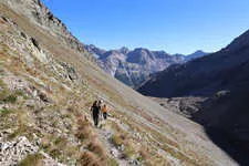
Starting point: the parking lot at the foot of Serre Orel. From here you start the climb towards the Combe de Laurichard.
250 m after the parking lot, the path splits in two: stay on the path leading up to Laurichard and leave the "crevasse interpretation path" on your right.
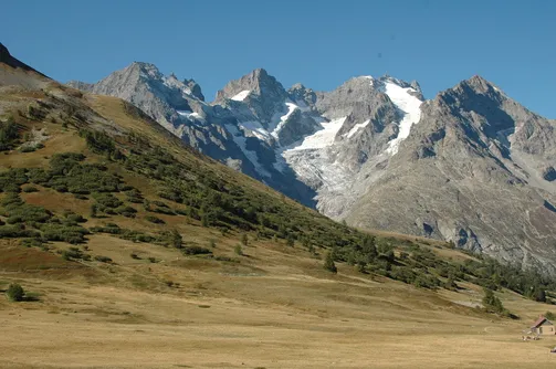
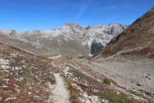
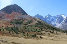
The slope gradually steepens until you reach the entrance to the Combe de Laurichard
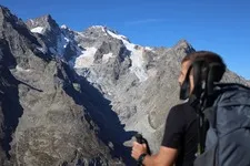
de Laurichard (2300 m), a mineral world par excellence. The trail continues at the foot of the south-east face of the Laurichard pyramid, overlooking the imposing, dark and austere north faces of the Combeynot summits (Combeynot black rock and Combeynot west peak). It's at the foot of these two
rocky Laurichard glacier and its permafrost (permanently frozen ground).
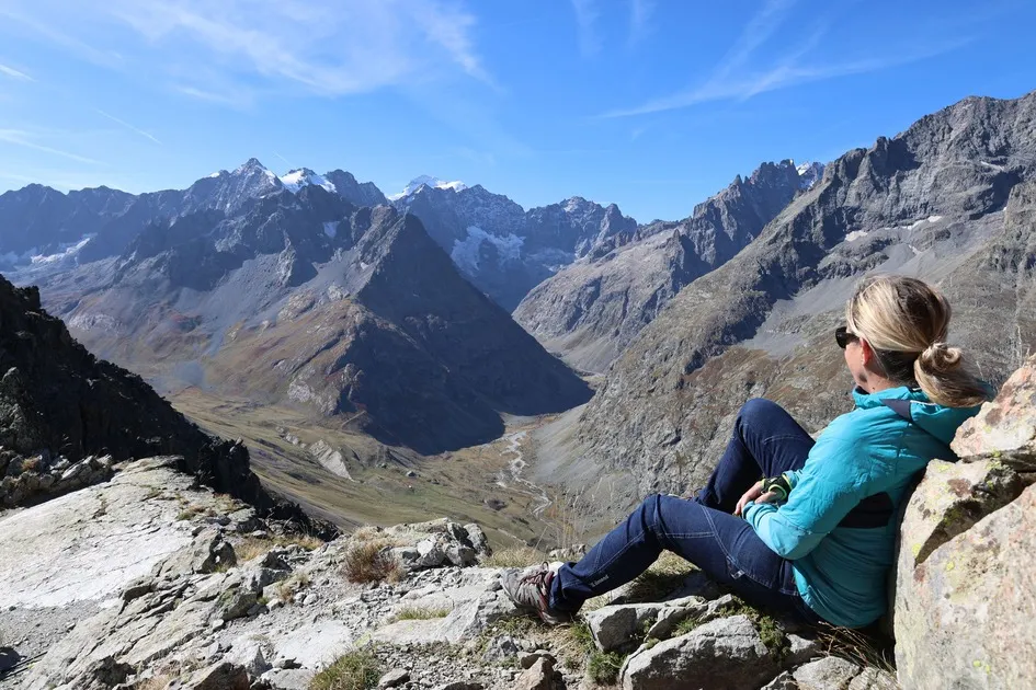
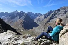
Continue up to the Col de Laurichard, where the panorama takes in the whole Meije massif and the surrounding peaks
(Pic Gaspard, Pointe Nérot, Bec de l'Homme, etc.).
For the descent, follow the same route in the opposite direction.
Itinéraire
-
 Distance
7km
Distance
7km
-
 Type d'itinéraire
Aller/retour
Type d'itinéraire
Aller/retour
-
 Dénivelé positif
650m
Dénivelé positif
650m
-
 Durée journalière
04:00
Durée journalière
04:00
-
 Itinéraire balisé
Oui
Itinéraire balisé
Oui
-
 Nature du terrain
Stone,
Ground,
Not suitable for strollers
Nature du terrain
Stone,
Ground,
Not suitable for strollers
Période d'ouverture
From 01/06 to 31/10 daily.
Subject to favorable weather.
Ouverture complémentaire
-
Subject to favorable weather
Langues parlées
-
 French
Localisation


-
Distance
7km
-
Durée journalière
04:00
-
Dénivelé positif
650m
-
Type d'itinéraire
Aller/retour