


Lautaret and Galibier passes
Discover the majestic Lautaret and Galibier passes, undisputed icons of the French Alps. Nestled among imposing peaks, these legendary passages offer breathtaking panoramas and winding roads that defy the imagination. Whether you're a cycling enthusiast looking for new challenges or a nature lover in search of breathtaking landscapes, the Lautaret and Galibier passes promise an unforgettable experience in the heart of the mountains. Immerse yourself in adventure and let yourself be enchanted by the raw beauty of these Alpine gems.
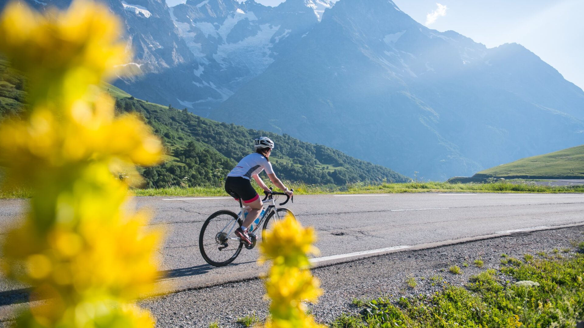
theroad to the Lautaret Pass

It is open to traffic all year round and offers a majestic view of the Ecrins peaks.
The Lautaret road connects Grenoble to Briançon, the Hautes-Alpes to Oisans and Isère, and the Romanche Valley to the Guisane Valley (also known as Serre Chevalier Valley).
The pass also marks the border between the Southern Alps and the Northern Alps. Together with the Montgenèvre Pass, the Col du Lautaret is also one of the most direct routes between Italy and France.
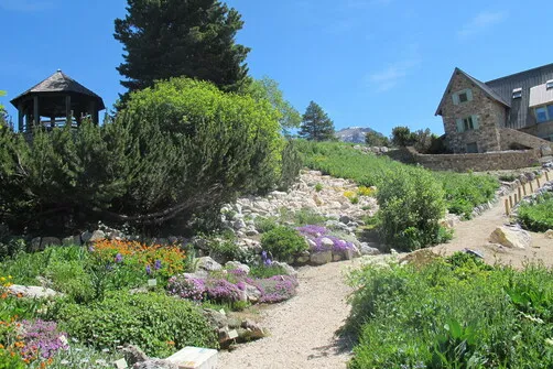
When you cross the Lautaret Pass, plan a stop to enjoy the view, have a drink, take a stroll, visit the Lautaret Garden, and the Ecrins National Park Visitor Center.

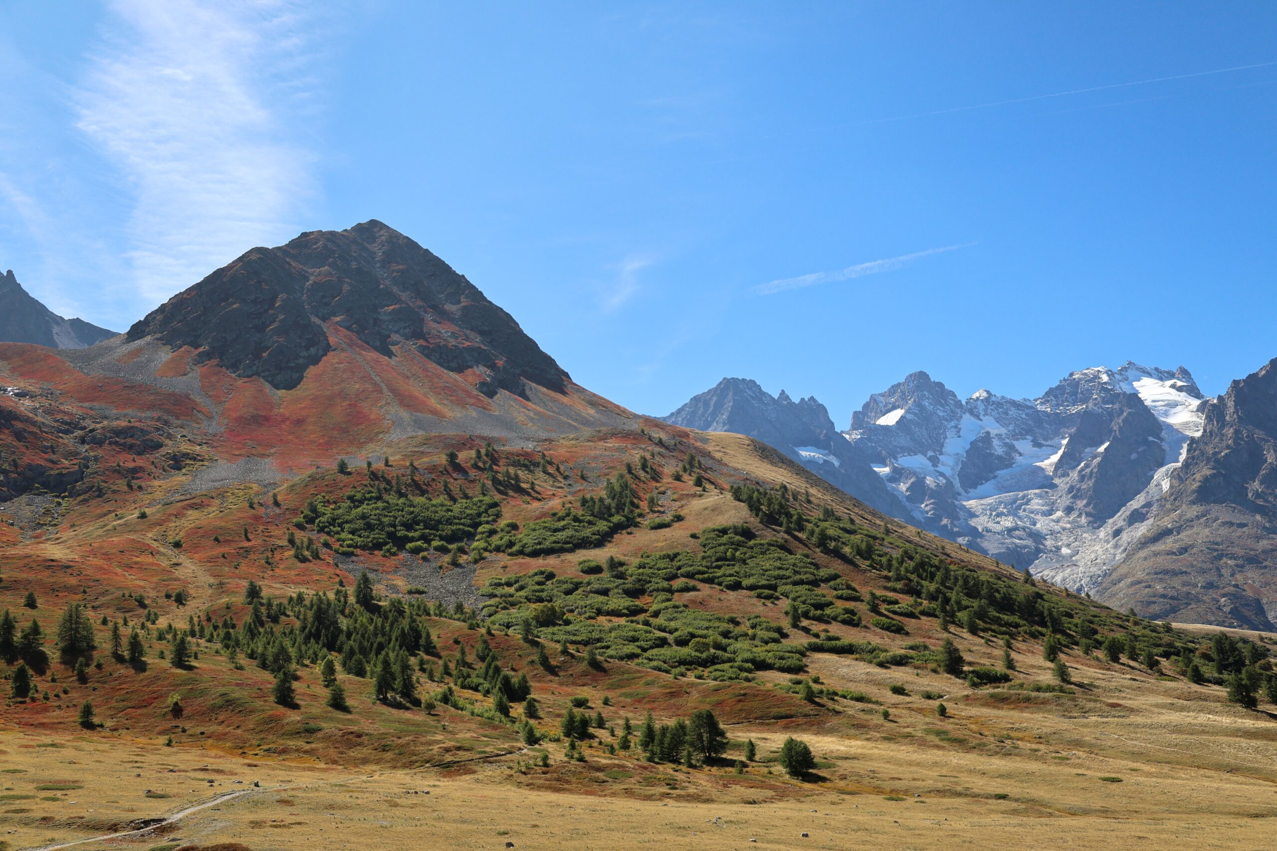

Theroad to the Col du Galibier
The bare ridge stretching between Pic Blanc and Grand Galibier, which has formed the border between Savoie and Dauphiné since the Middle Ages, and later between Savoie and France, was of sufficient strategic importance to justify the construction of a military road, which was completed in 1891.
The current route dates back to 1938. Until 1978, the highest point was at the entrance to the tunnel, at 2,556 m, but then the tunnel closed for renovation and the road was raised to the pass.
The Galibier Pass in pictures
Check out the weather at the Col du Galibier live with the webcam


The plus to get organized

Opening of the mountain passes?
The Lautaret road is open all year round. In winter, it may close temporarily due to high avalanche risk or very strong winds. Special equipment is required to cross the pass throughout the winter. The Galibier road closes when the first heavy snowfalls arrive, usually in October, and reopens for the summer towards the end of May.
How do I get there?
From Grenoble: 50 miles via the RD1091 towards “Des stations de l’Oisans / La Grave / Briançon” From Gap: 75 miles via the RN94 towards Briançon, then the RD1091 towards Grenoble via the Col du Lautaret

Where to park?
There is a large free parking lot at the top of the Col du Lautaret pass. There is also a small free parking lot at the top of the Col du Galibier pass.
nos bonnes adresses au col du lautaret
Accommodation, restaurants, producers... Discover places to visit at the Col du Lautaret.
-
Villar-d'Arêne
 visite_guidee
The Lautaret Garden
- Alpine
- Plant collection
- Medicinal/healing plants
-
Villar-d'Arêne
 Retail and Services Closed
Association – Astroguindaine
-
Villar-d'Arêne
 Retail and Services Closed
Wayra – Snowkite School
-
Villar-d'Arêne
 degustation
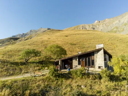
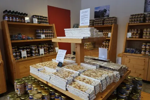
The Lautaret Workshop – Producer
-
Villar-d'Arêne
 Retail and Services Open
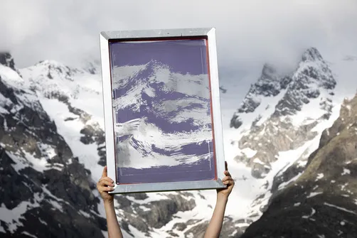
L'ile de Dante – silkscreen workshop…
- 1
Focus on the Tour de France

The Galibier is the Alpine pass most often climbed during the Tour de France, with more than 60 appearances in its record books. The first passage of the Galibier took place on July 10, 1911, during the Chamonix–Grenoble stage (366 km).
Emile Georget, winner of that day's stage, reached the top of the Col du Galibier, stopped to take a break and declared that he had "never seen anything so difficult." At that time, the Tour followed the old route on the south side. This road, which had only recently been opened to traffic, had an average gradient of 9.6%. Only three riders managed to climb the pass without getting off their bikes that day.
The Tour crossed the Galibier 23 times on this narrow, steep route before the new road opened in 1938. The passage becomes easier with a fairly steady 6.9% gradient. The climb ends in the darkness of the tunnel with a dazzling exit below the summit.
In 1979, the Tour climbed to the summit of the pass for the first time. A hundred meters of elevation gain over three tight turns with a 10% gradient were enough to classify the Galibier as hors catégorie due to its difficulty.
MAJOR EVENTS RESERVED SEATS
Between 9:00 a.m. and 12:00 p.m., the road is closed to traffic in both directions and becomes a paradise for cyclists. With no registration or ranking, the reserved passes are open to everyone.

Activities at the Lautaret Pass

Ski touring

