Retour
equipement
Retour
equipement
The Meije Marathon

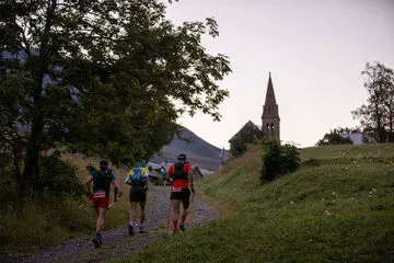

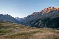

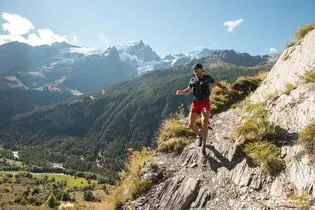
This trail is a marathon that will lead you through secluded areas in the Meije County.
Description
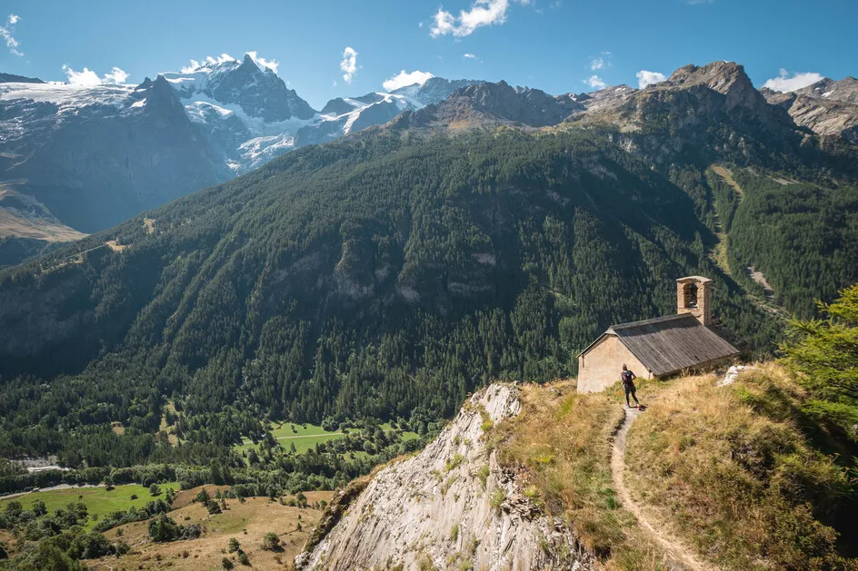
This demanding route, at an altitude of over 1600 metres, follows the same paths as the 26 Km route, but then branches off onto a small, very steep path to reach the famous Emparis plateau.
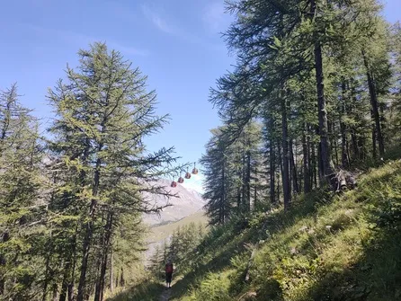
In September, this mountain plateau bears a striking resemblance to the famous South American altiplano. A loop on this plateau takes you to two mountain lakes with views of the Écrins massif. Finally, a long descent takes you to the finish in the village of La Grave.
ATTENTION: The path linking Villar d'Arène to La Grave via the Romanche (lower path) is closed following the collapse of part of the path. The Ecrins National Park has not yet announced a date for its reopening. Access from the top (Les Vernois) is possible.
Équipements
-
 Public WC
-
Car park
-
Defibrillator
-
Trail route
-
Charging stations for electric vehicles
Environnements
-
 Forest location
-
Mountain location
-
Lake -5km away
-
River -5 km away
-
Waterside
Tarifs
Free of charge.
Itinéraire
-
 Distance
42km
Distance
42km
-
 Type d'itinéraire
BOUCLE
Type d'itinéraire
BOUCLE
-
 Dénivelé positif
2070m
Dénivelé positif
2070m
-
 Dénivelé négatif
2070m
Dénivelé négatif
2070m
-
 Durée journalière
06:00
Durée journalière
06:00
-
 Itinéraire balisé
Oui
Itinéraire balisé
Oui
-
 Passage délicat
In between La Grave and Villar d'Arène, there is a path that is exposed with the river Romanche below.
And when running down after Chazelet, there is a dangerous turn before the Bon repos chapel.
Passage délicat
In between La Grave and Villar d'Arène, there is a path that is exposed with the river Romanche below.
And when running down after Chazelet, there is a dangerous turn before the Bon repos chapel.
-
 Nature du terrain
Rock,
Stone,
Ground
Nature du terrain
Rock,
Stone,
Ground
-
 Altitude moyenne
2000m
Altitude moyenne
2000m
-
 Altitude maximum
2400m
Altitude maximum
2400m
Période d'ouverture
From 01/05 to 30/10 daily.
Subject to snow conditions.
Ouverture complémentaire
-
Subject to snow conditions
Langues parlées
-
 English
-
 French
Localisation


-
Distance
42km
-
Durée journalière
06:00
-
Dénivelé positif
2070m
-
Dénivelé négatif
2070m