


 Retour
equipement
Retour
equipement
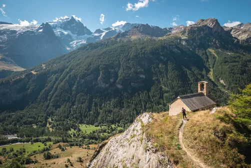
The Aiguillon's loop
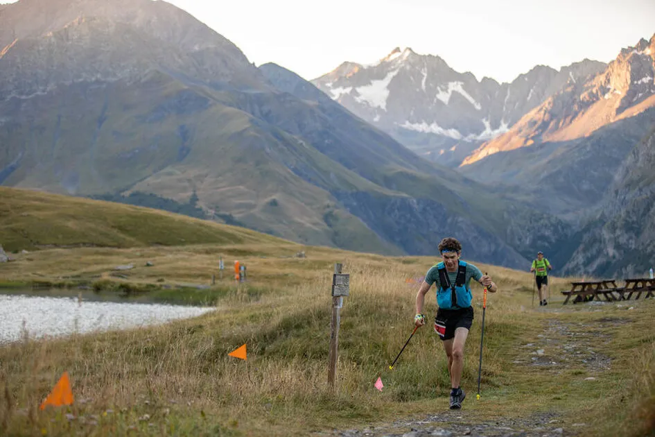
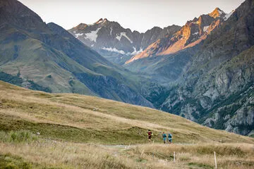


This route takes in the Haute Romanche valley in a dream landscape, facing the Meije. It's a lovely loop that will take you on a quick tour of the canton's mythical sites.
Description
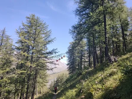
Departure from the village hall in La Grave, with a walk through this authentic mountain village, then up to the banks of the Romanche in a larch forest, where the river will refresh you before you enter the village of Villar d'Arène. The climb up to Lac du Pontet gives you the chance to take in the view from above. After a short, rather slippery traverse, you'll find yourself at the Col de l'Aiguillon. All that remains is to descend to the village of Valfroide. Passing through the small hamlets of the villages, the route then descends to La Grave for a relatively quick finish.
Équipements
-
 Trail route
Environnements
-
 Forest location
-
Mountain location
-
Lake -5km away
-
River -5 km away
-
Waterside
Tarifs
Free access.
Itinéraire
-
 Distance
15km
Distance
15km
-
 Type d'itinéraire
BOUCLE
Type d'itinéraire
BOUCLE
-
 Dénivelé positif
650m
Dénivelé positif
650m
-
 Dénivelé négatif
650m
Dénivelé négatif
650m
-
 Durée journalière
02:00
Durée journalière
02:00
-
 Itinéraire balisé
Oui
Itinéraire balisé
Oui
-
 Passage délicat
In between La Grave and Villar d'Arène, there is a path that is exposed with the river Romanche below.
Passage délicat
In between La Grave and Villar d'Arène, there is a path that is exposed with the river Romanche below.
-
 Nature du terrain
Rock,
Stone,
Ground
Nature du terrain
Rock,
Stone,
Ground
-
 Altitude moyenne
1850m
Altitude moyenne
1850m
-
 Altitude maximum
2095m
Altitude maximum
2095m
Période d'ouverture
From 01/05 to 30/10 daily.
Subject to snow conditions.
Ouverture complémentaire
-
Subject to snow conditions
Langues parlées
-
 English
-
 French
Localisation


-
Distance
15km
-
Durée journalière
02:00
-
Dénivelé positif
650m
-
Dénivelé négatif
650m


-
Villar-d'Arêne
 commerce et service Ouvert
Association - Dénivelé positif
-
La Grave
 equipement
The Aiguillon's loop
- Distance 15km
- Durée journalière 02:00
- Dénivelé positif 650m
- Dénivelé négatif 650m
-
agenda La Grave
Trail de la Meije
- Competitive sport
Saturday 5 September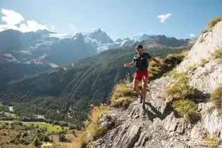
-
La Grave
 equipement
Les Fréaux Vertical kilometer
- Distance 4.8km
- Durée journalière 02:00
- Dénivelé positif 1200m
- Dénivelé négatif 1200m
-
La Grave
 equipement
The Meije Marathon
- Distance 42km
- Durée journalière 06:00
- Dénivelé positif 2070m
- Dénivelé négatif 2070m