


 Retour
randonnee
Retour
randonnee
The summit of Pic du Mas de La Grave
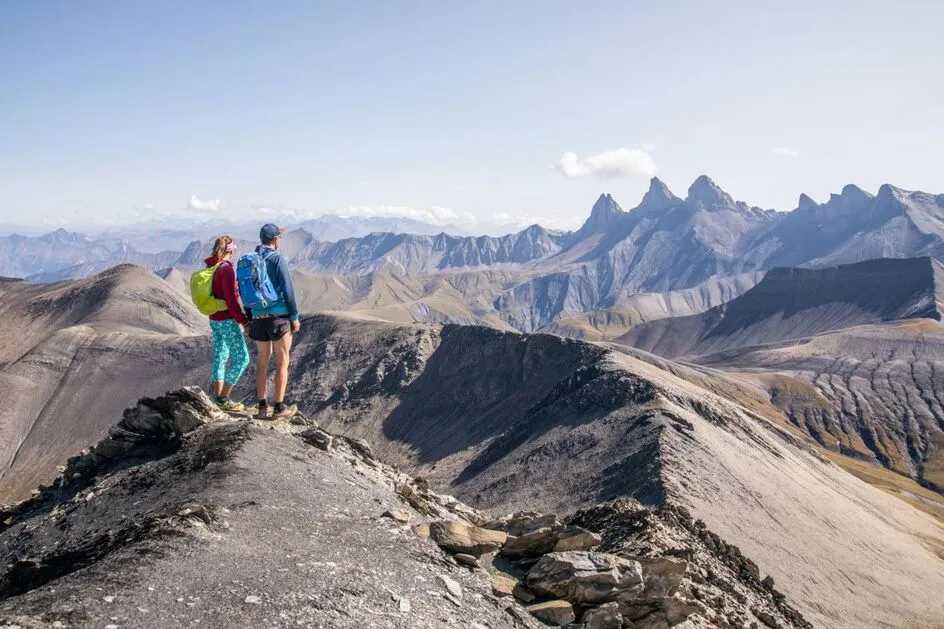

The Pic du Mas de la Grave (3020 m) is a must for experienced hikers staying in the valley, after ascending the Vallon de la Buffe.
Description
From the parking lot, head down towards the village along the parking lot.
At the first junction, don't go up into the village, but take a right-hand hairpin turn towards the foot of the ski lifts.
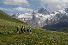
Take the GR54 to the right. At the next junction, leave the GR and stay on the slope (do not descend towards the torrent). Continue along the wide track.
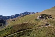
At the next junction, turn right towards the three hamlets of Les Rivets. Cross them and reach the Croix de Tuf (1879 m). Continue on the good track that follows the valley to reach the Buffe hut (2005 m) at the foot of the Pic du Mas de La Grave (you can spend the night at the hut to cut the long climb to the Pic). Cross the small stream on the left and follow the path upwards.
Pass a small rocky bar and just after, don't turn left but continue north along the path which leads to a huge cairn (2351 m).
From this point, the path narrows, skirting a schist gully and crossing open meadows to reach scree slopes. Cross a few small rocky projections to reach the ridge (2979 m). Follow it (overhead) to the summit (3020 m).
Return along the same path to a ford below the Pic du Mas de La Grave refuge.
Turn right, climb up and return along the right-bank path to the station, then join the parking lot.
Complément accueil
Hard
Tarifs
Free of charge.
Itinéraire
-
 Distance
24.28km
Distance
24.28km
-
 Type d'itinéraire
Aller/retour
Type d'itinéraire
Aller/retour
-
 Dénivelé positif
1404m
Dénivelé positif
1404m
-
 Dénivelé négatif
1404m
Dénivelé négatif
1404m
-
 Durée journalière
09:00
Durée journalière
09:00
-
 Itinéraire balisé
Oui
Itinéraire balisé
Oui
-
 Altitude maximum
2975m
Altitude maximum
2975m
Langues parlées
-
 French
Localisation
Documents


-
Distance
24.28km
-
Durée journalière
09:00
-
Dénivelé positif
1404m
-
Dénivelé négatif
1404m